Take a ride through the northeastern reaches of Oklahoma as we follow U.S. Route 75 from the heart of Tulsa to the Kansas state line near Caney. This 61-mile journey blends urban sprawl, rolling prairie, and glimpses of historic oil towns—tracing a northbound corridor that has long served as a vital link between Oklahoma and the Central Plains.
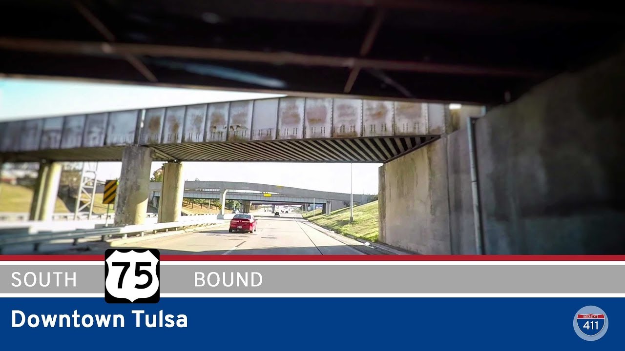
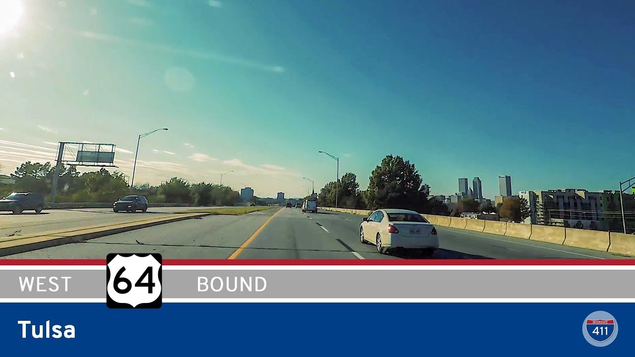
Our journey begins just southeast of downtown Tulsa as we merge onto US-75 from US-64. Almost immediately, the skyline of Tulsa frames our view as we head north through the city’s core. This stretch of highway is elevated, offering wide views of the Arkansas River and the city’s downtown buildings. Within a few miles, we cross a major interchange with Interstate 244, and the roadway curves northeast, transitioning from a dense urban expressway to a more open freeway as we climb away from the city center. Just beyond the turnoff for the Gilcrease Expressway—a route that loops west and north of the city and provides access to Tulsa International Airport—we officially leave the Tulsa metro behind.
The highway narrows slightly as we continue north through a mix of suburbs and undeveloped land. The landscape here begins to flatten, and we’re soon surrounded by Oklahoma’s signature cross-timbers: a mix of prairie and patchy woodland, dotted with the occasional farm or small commercial cluster. Towns come into view with more regularity now. Ramona and Ochelata pass quickly, their turnoffs marked by signage pointing to quiet communities just off the highway. Before long, the city of Bartlesville appears—an important regional hub with deep roots in the oil industry. Founded in part by the famed Phillips Petroleum Company, Bartlesville still bears the hallmarks of that heritage, from the iconic Price Tower designed by Frank Lloyd Wright, to the mixture of mid-century commercial buildings and oil infrastructure. We take a quick stop here to fuel up—both the car and ourselves—before continuing north.
From Bartlesville, US-75 becomes a bit quieter as the road narrows and the terrain flattens. We pass through Dewey, where old-time charm still radiates from the downtown strip, and soon after, we roll through the town of Copan. Named for the nearby Copan Lake, this small town serves as a final waypoint before the Oklahoma-Kansas border. As we press onward, signs of the approaching state line become evident—the fields become wider, the fences longer, and the prairie horizon stretches out with purpose. At last, we cross into Kansas just outside the town of Caney, closing out our ride with a smooth transition into southeastern Kansas farmland.
This stretch of US-75 is a snapshot of transition—urban to rural, industrial to agricultural, Oklahoma to Kansas. It’s a route of purpose but also of quiet character, linking communities that continue to evolve along one of America’s original north-south arteries.
🗺️ Route Map
0 Comments