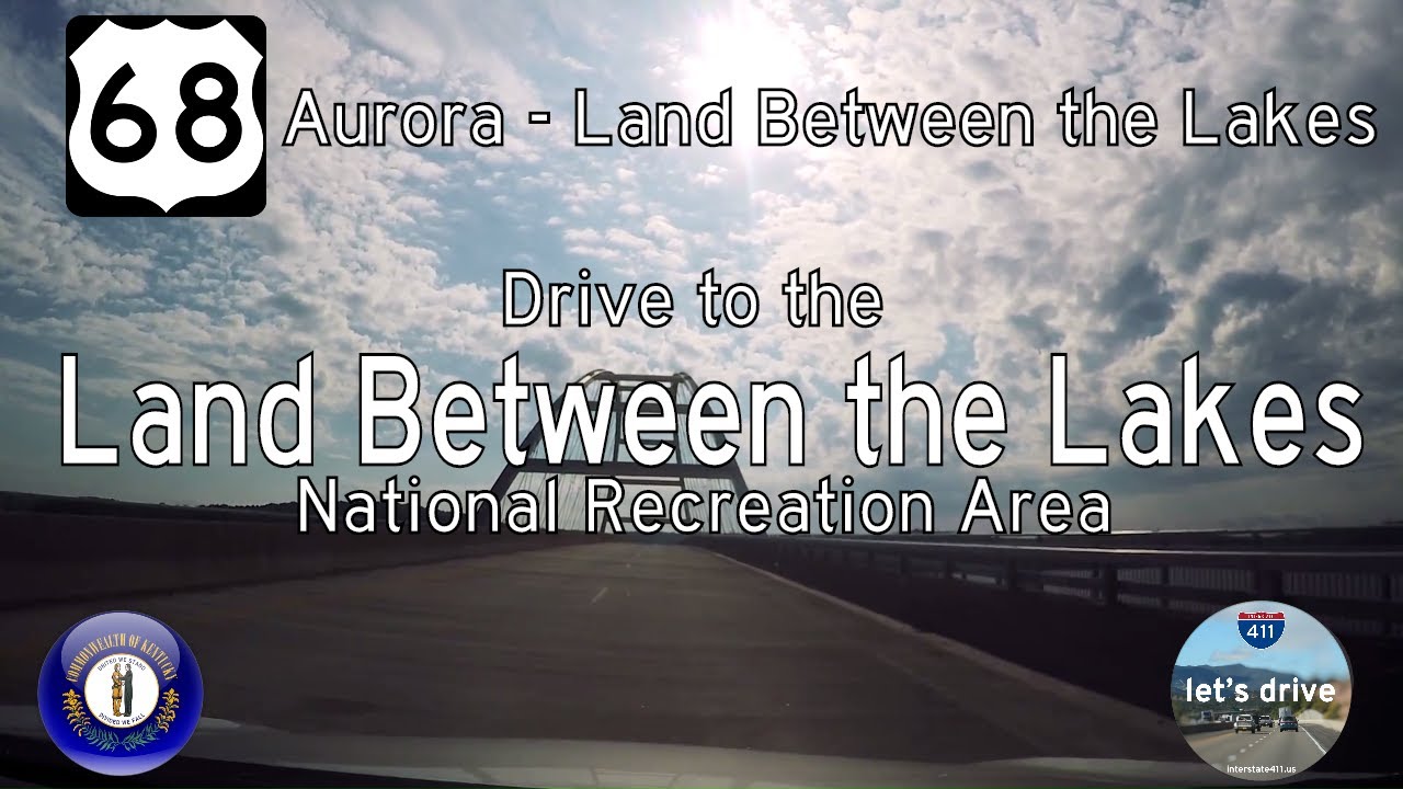
Take a scenic drive along U.S. Route 68 from Aurora to the Land Between the Lakes National Recreation Area in Kentucky. Enjoy lake views, the Eggner’s Ferry Bridge, and peaceful woodlands on this short but beautiful highway segment.
Explore U.S. Route 68, a scenic highway stretching from Reidland, KY to Findlay, OH. Discover its route, key cities, historical landmarks, and travel highlights through Kentucky and Ohio.
U.S. Route 68 (US 68) is a primarily east–west highway spanning the central United States, covering approximately 560 miles. Though officially designated as an east–west route, much of its orientation is more north–south, particularly through Kentucky. The highway begins in Reidland, Kentucky, at an interchange with U.S. Route 62, and ends in Findlay, Ohio, at an interchange with Interstate 75. Its route takes travelers through a diverse landscape of rolling farmland, small towns, college communities, and historic sites.
In Kentucky, US 68 is especially significant as it connects the Jackson Purchase region with Lexington, passing through towns like Hopkinsville, Bowling Green, and Harrodsburg. This section is known for its scenic byways and historic points of interest, including Shaker Village of Pleasant Hill and the Kentucky Bourbon Trail. The route is also home to segments designated as the “US 68 Scenic Byway”, offering travelers a picturesque drive across the Bluegrass State.
Crossing into Ohio, US 68 becomes a vital north–south connector linking smaller communities to larger transportation corridors like I-75 and US 33. It serves towns like Kenton, Urbana, and Yellow Springs—home to Antioch College. Though not part of the Interstate system, US 68 plays a crucial role in regional connectivity and rural economic development. Over the years, portions of the route have been upgraded for safety and traffic flow, especially near urban areas and along key tourism corridors.
Take a scenic drive along U.S. Route 68 from Aurora to the Land Between the Lakes National Recreation Area in Kentucky. Enjoy lake views, the Eggner’s Ferry Bridge, and peaceful woodlands on this short but beautiful highway segment.
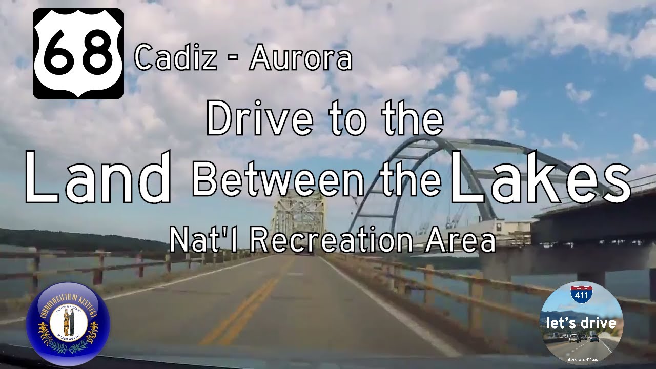
Take a scenic drive along U.S. Route 68 from Cadiz to Aurora, Kentucky. Explore 13 miles of rolling farmland, forested parkland, and lakeside beauty—including views of the old Lake Barkley Bridge before its replacement.