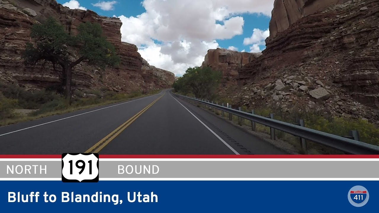
Take a ride through the red rock canyons and forested foothills of southeastern Utah as we follow U.S. Route 191 from Blanding to Monticello. This 21-mile stretch offers a classic Four Corners experience—where desert mesas meet pine-covered ridges and ancient lands whisper through every curve of the road. Traveling north through one of the more underrated scenic corridors of the state, we trace the edge of the high Colorado Plateau, catching glimpses of public lands, recreation sites, and the subtle transitions that make this part of Utah so visually compelling.
Our journey begins in the small town of Blanding, a quiet gateway to the Bears Ears region and the Canyonlands backcountry. Heading east briefly through the edge of town, US-191 turns north, climbing gradually into the wooded rise of the Abajo Mountains’ southern slopes. The town’s outskirts quickly give way to open terrain, where the pinion-juniper landscape becomes increasingly dotted with ponderosa pines. This is the transitional zone into the Manti-La Sal National Forest, a rugged and beautiful swath of public land that spans much of this corner of Utah. As we continue north, the road becomes gently winding, pulling us into the canyon-cut country surrounding Devils Canyon.
At roughly the halfway point of the drive, we pass Devils Canyon Campground, a serene, wooded retreat tucked into a shallow ravine. Part of the Manti-La Sal National Forest, the campground offers a cool contrast to the desert heat below and a reminder of just how diverse the Utah landscape can be within a few miles. The road skirts the southeastern edge of the forest boundary before turning northeast. From here, the high desert opens up, offering sweeping views of mesas to the east and the forested shoulders of the Abajo Mountains to the west.
As we approach Monticello, the terrain softens into rolling high-country pastures. The final few miles into town are framed by agricultural fields and ranch land—a quiet, pastoral gateway to the town that lies just beyond. Monticello itself sits at over 7,000 feet in elevation, making it one of the higher cities in Utah and a welcome stop for travelers continuing north into Moab or east into Colorado. We reach the junction with US-491, where our journey ends as we turn east toward Cortez and the mesas of southwestern Colorado.
This drive through the heart of San Juan County may be short, but it tells a long story—of ancient peoples, geological upheaval, and rugged beauty preserved across public lands and small towns. Whether you’re heading into the wilds of the Abajo Mountains or linking up with the wide-open roads toward the Rockies, this stretch of US-191 reminds us that sometimes, the quiet roads are the ones that carry the most meaning.
🗺️ Route Map
0 Comments