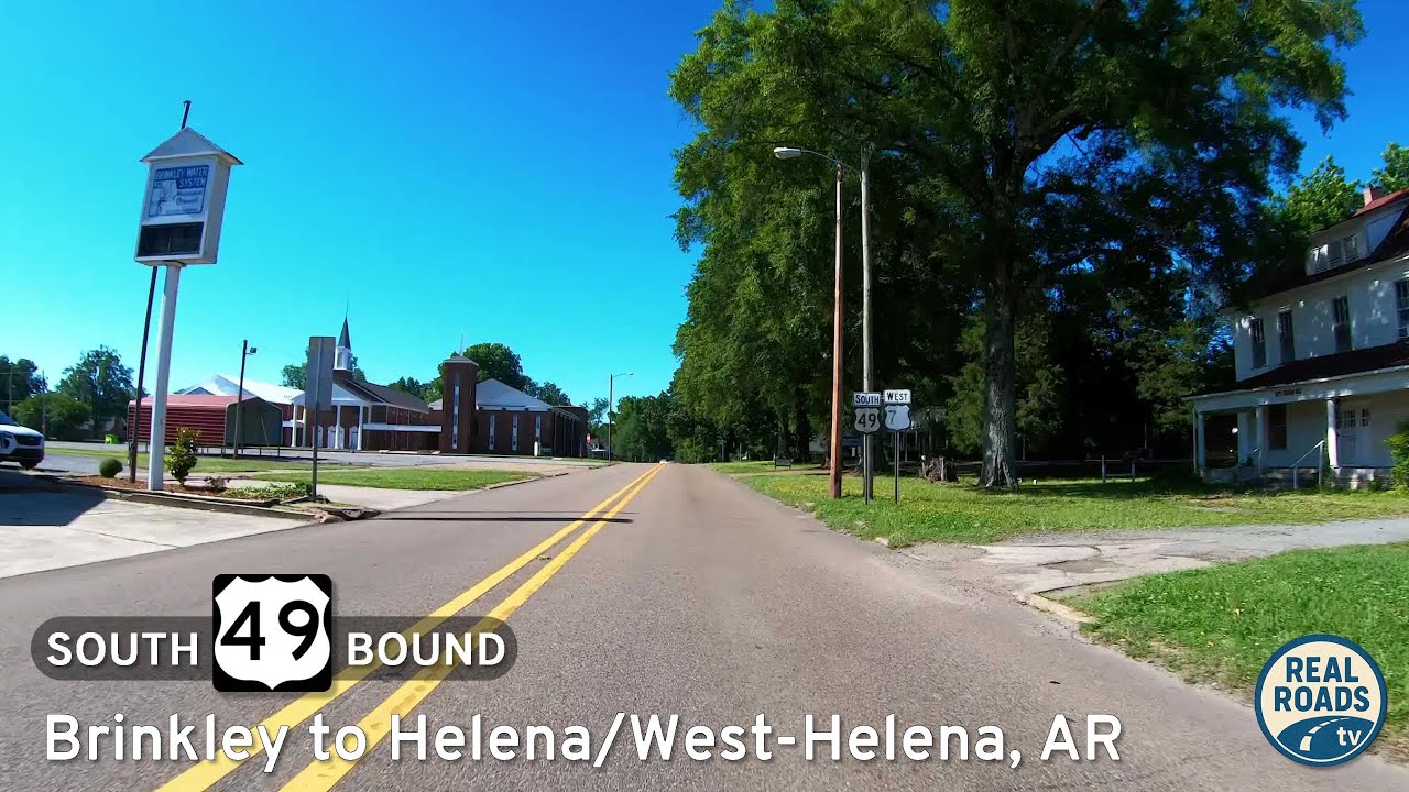
Travel U.S. Route 49 from Brinkley to Helena–West Helena, Arkansas, across the Delta’s farmland and small towns to the Mississippi River. Explore historic sites, scenic byways, and the cultural heart of the Arkansas Delta.
The U.S. Numbered Highway System—often referred to as U.S. Routes or U.S. Highways—is a nationwide network of roads established in 1926 to improve long-distance automobile travel across the United States. Unlike the Interstate system, U.S. Highways predate freeways and often serve as main streets, scenic byways, or vital connectors through rural and urban communities alike. Many historic routes, including iconic roads like U.S. Route 66, trace their roots to this enduring network.
These highways use a grid system for numbering: odd-numbered routes run north–south, increasing from east to west, while even-numbered routes run east–west, increasing from north to south. Important cross-country highways typically end in “0” or “1” (like US 20 or US 1), and three-digit offshoots usually indicate spurs or loops branching from mainline routes.
Today, the U.S. Highway system continues to evolve—some segments have been decommissioned, realigned, or upgraded to freeways—but many routes remain essential for regional travel, trucking, and scenic exploration. This category explores the entire U.S. Numbered Highway network, from coast to coast and border to border.
Travel U.S. Route 49 from Brinkley to Helena–West Helena, Arkansas, across the Delta’s farmland and small towns to the Mississippi River. Explore historic sites, scenic byways, and the cultural heart of the Arkansas Delta.
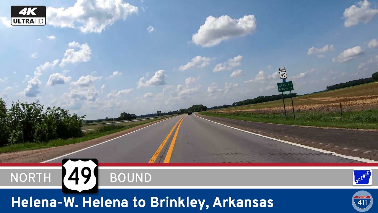
Travel 48 miles across the Arkansas Delta on U.S. Route 49 from Helena–West Helena to Brinkley. Explore farmland, small towns like Marvell, and end at the I-40 crossroads in Brinkley.
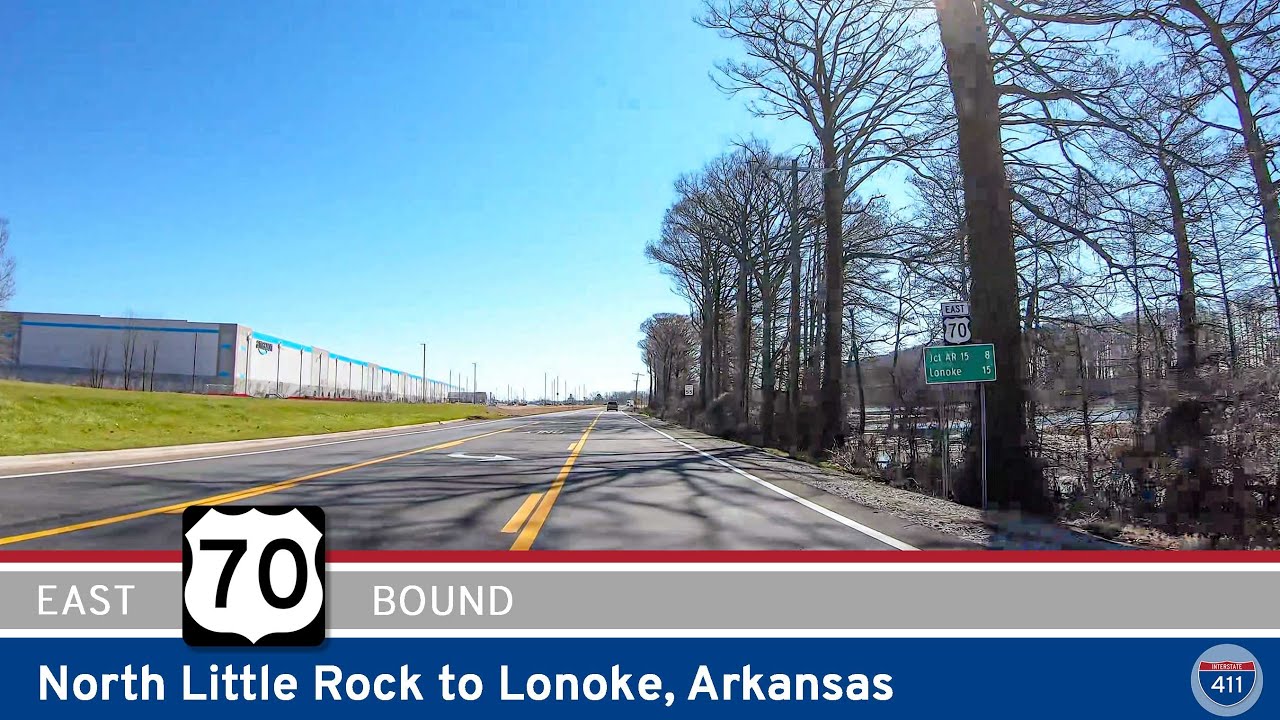
Travel 23 miles along U.S. Route 70 from North Little Rock to Lonoke, Arkansas. Explore historic downtown streets, farmland vistas, and early highway alignments on this classic Delta corridor.
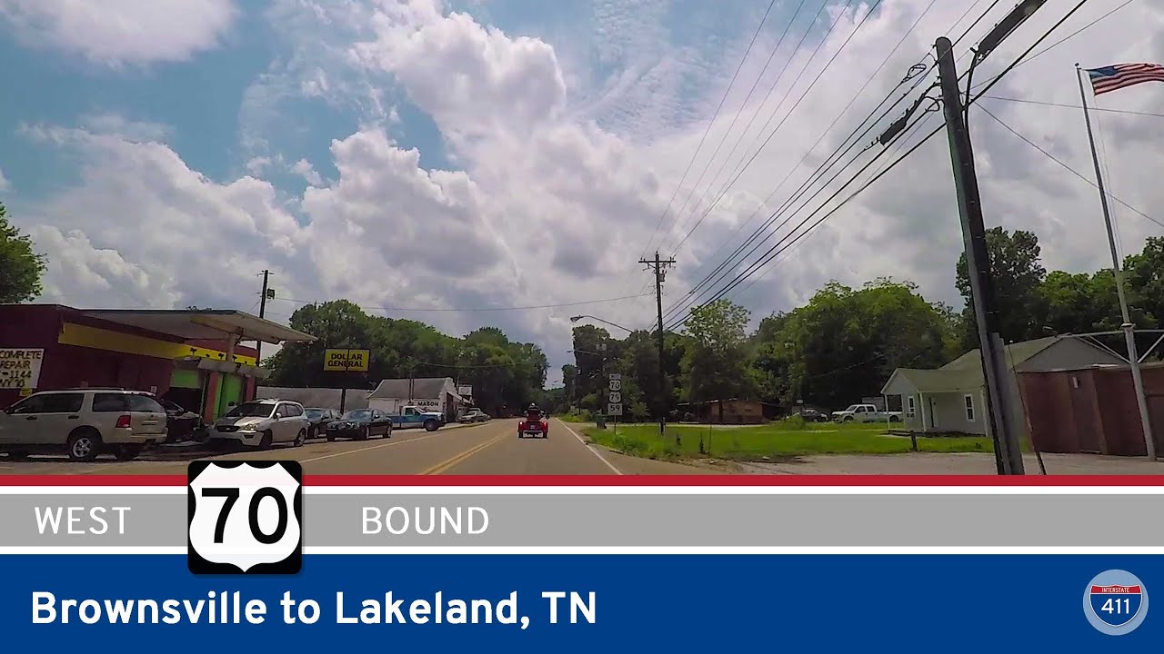
Follow U.S. Route 70 for 36 miles from Brownsville to Lakeland, Tennessee, along the state’s first numbered highway. Pass farms, small towns, and historic roadside landmarks on this slower-paced alternative to I-40.
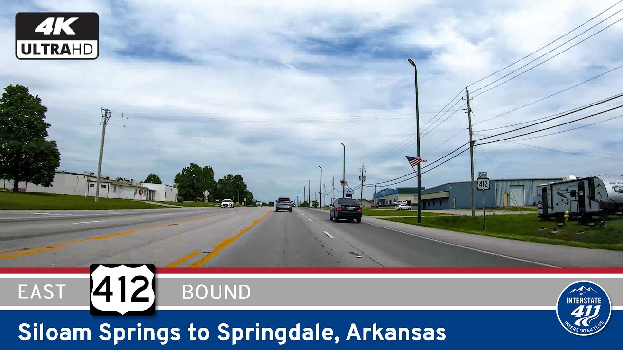
Travel east through the heart of Northwest Arkansas along U.S. Route 412 from Siloam Springs to Springdale. This 19-mile drive captures the region’s growth, connecting historic small towns and new developments to the I-49 corridor and greater metro area.
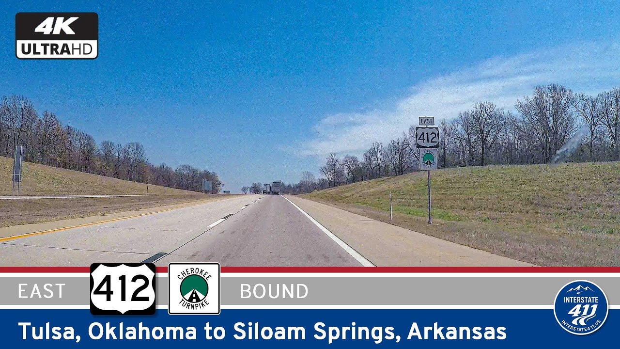
Drive U.S. Route 412 from Tulsa to the Arkansas state line near Siloam Springs. This 83-mile stretch through northeast Oklahoma offers a blend of expressway, prairie, and Ozark foothills — connecting metro Tulsa with the scenic edge of northwest Arkansas.
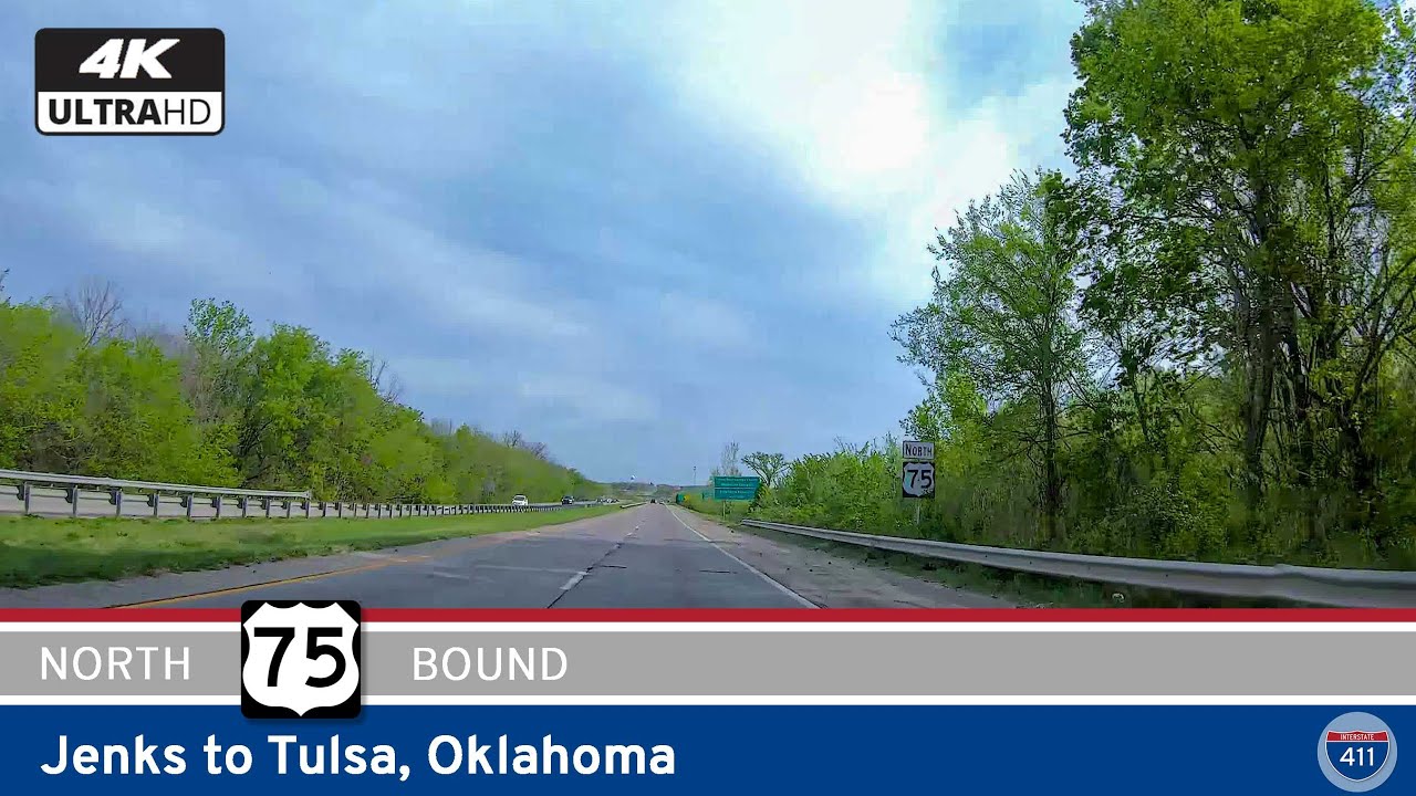
Take a front-row seat on this 16-mile drive along U.S. Route 75 from Jenks to downtown Tulsa. From suburban growth to river-crossing city views, this major Oklahoma corridor connects neighborhoods, highways, and downtown attractions with ease.
Join us for a 32-mile drive across northeastern Oklahoma as we follow U.S. Route 64 from Sand Springs to Bixby, weaving through urban expressways, interchanges, and small-town charm along the way.
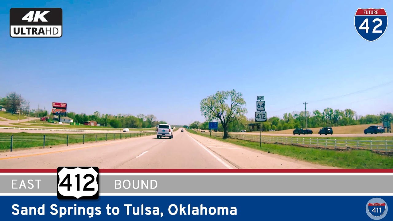
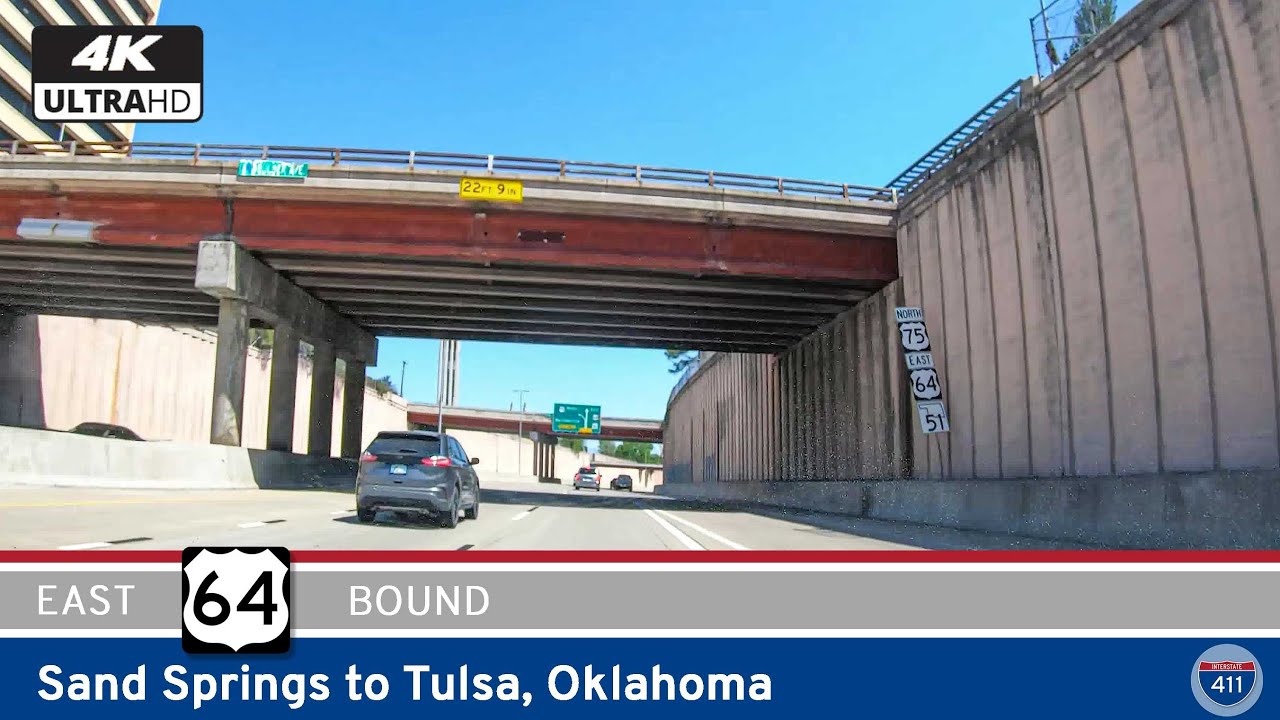
Drive America’s Highways for 14 miles east along U.S. Highway 412 from Sand Springs to Tulsa, Oklahoma
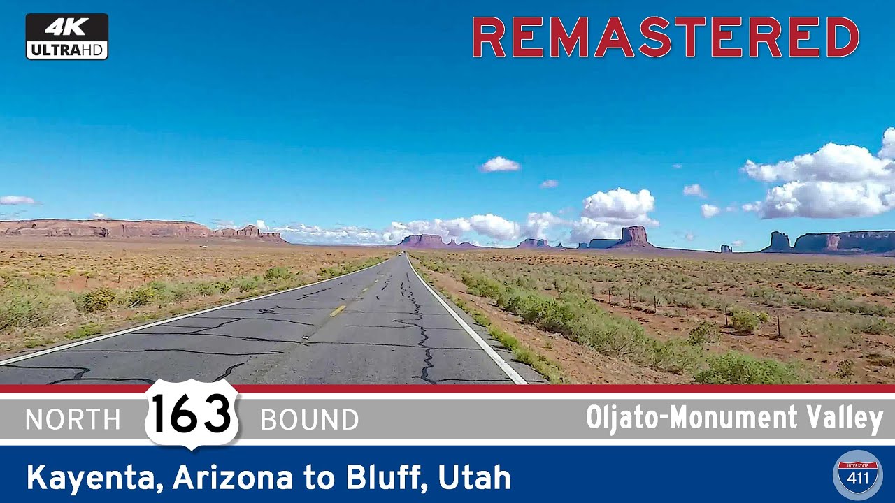
Travel 64 miles through one of the most iconic landscapes in America as U.S. Route 163 takes you from Kayenta, Arizona to Bluff, Utah. Explore Monument Valley, Forrest Gump Point, Mexican Hat, and more on this unforgettable scenic highway.
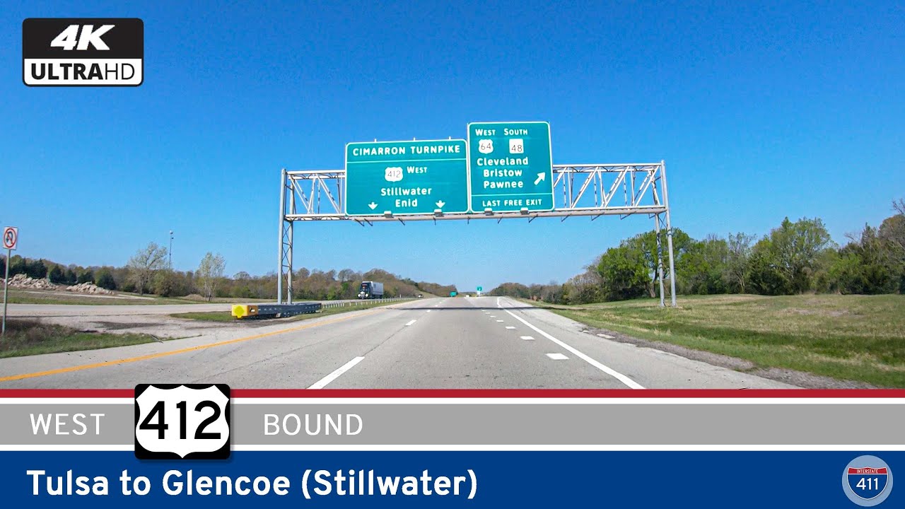
Drive 55 miles west from Tulsa to Stillwater along U.S. Route 412 and the Cimarron Turnpike. Explore cityscapes, dam crossings, and prairie vistas on this fast and scenic Oklahoma route.
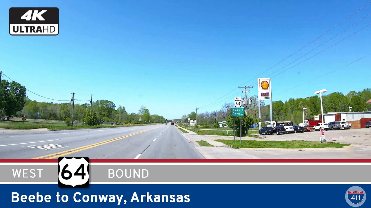
Drive 33 miles along U.S. Highway 64 from Beebe to Conway, Arkansas, through scenic farmland, small towns like El Paso and Vilonia, and into the growing urban hub of Conway. Experience this diverse slice of central Arkansas in our latest road video.