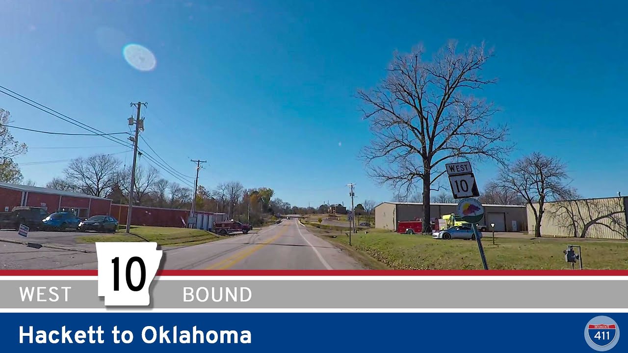
Drive 1.5 miles west along Arkansas Highway 10 from Hackett to the Oklahoma state line, passing through peaceful rural farmland and enjoying a glimpse of the Arkansas River Valley’s small-town scenery before connecting to Oklahoma’s countryside.
State highways form the backbone of regional travel across the United States, offering essential connections between cities, rural communities, and major national routes. Managed by individual state departments of transportation, these highways vary widely in scale—from narrow rural byways to multi-lane expressways rivaling interstates in traffic and speed. While numbering systems and signage conventions differ from state to state, each network plays a critical role in local mobility and economic development.
Unlike the federally designated Interstate and U.S. Highway systems, state highways are developed and maintained at the state level, giving them a unique character and flexibility. Some follow historic paths and scenic corridors, while others serve as modern commuter routes or urban spurs. Many are vital links to state parks, natural attractions, and lesser-known destinations that don’t fall within the national systems.
On this site, we highlight a growing collection of notable state highways, organized by region and state. Whether you’re tracing a scenic loop through the mountains, navigating a fast-moving corridor through a metro area, or exploring forgotten rural routes, our guides offer detailed overviews, and video journeys to help you plan your next adventure.
State Departments of Transportation use different terminology for their designated road systems, with some states using “state highway,” others “state road,” and still others “state route.” These distinctions, though seemingly minor, often reflect historical and legislative traditions within each state. The choice of a particular term can be tied to the legal language used when the road network was first established or expanded. For example, a state might have initially defined its network as a “system of highways” for commerce and travel, while another may have focused on creating a “system of roads” for local and inter-city connections. The term “state route” is often a more modern designation that emphasizes a specific numbered path for navigation rather than the physical characteristics or purpose of the road itself. While the exact reasoning for each state’s choice is complex and rooted in its unique history, the map on the right provides a visual guide to which term is used where.

Drive 1.5 miles west along Arkansas Highway 10 from Hackett to the Oklahoma state line, passing through peaceful rural farmland and enjoying a glimpse of the Arkansas River Valley’s small-town scenery before connecting to Oklahoma’s countryside.
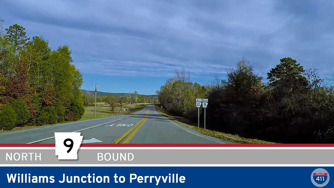
Take a relaxing 10-mile drive along Arkansas Highway 9 from Williams Junction to Perryville. Wind through the Ouachita foothills, cross the scenic Fouche La Fave River, and arrive in the friendly heart of Perry County, Arkansas.
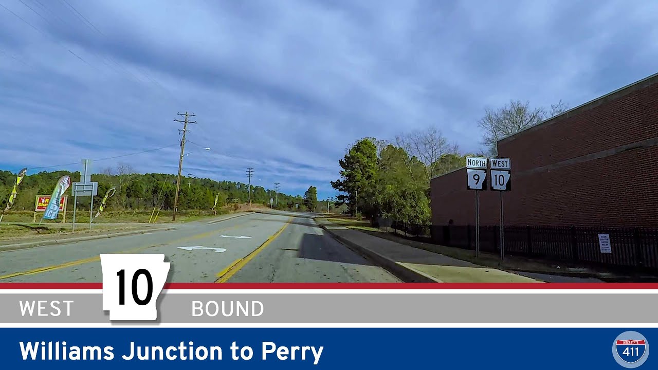
Experience the winding hills and small-town charm of Arkansas Highway 10 from Williams Junction to Perry. This 14-mile drive through the Ouachita foothills offers peaceful forests, a quiet river crossing, and easy access to local outdoor spots like Lake Sylvia.

Cruise 19 miles west along Arkansas Highway 10 from west Little Rock to Williams Junction. Enjoy peaceful drives beside Lake Maumelle, forested foothills, and connections to local recreation near the Ouachita Mountains.
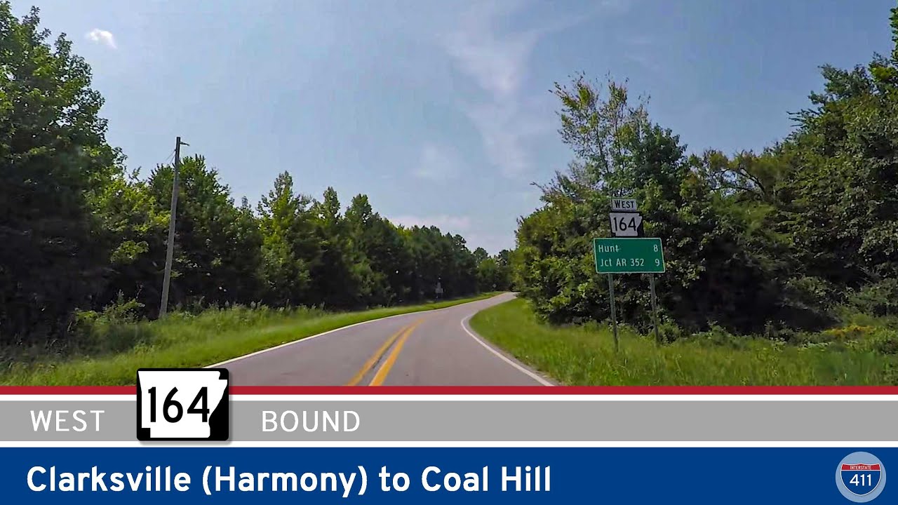
Travel 9 peaceful miles west along Arkansas Highway 164 from Clarksville to Coal Hill. This short scenic route takes you past Horsehead Lake, through rural Hunt, and reconnects with I-40—perfect for a quiet drive through Arkansas farmland and wooded foothills.
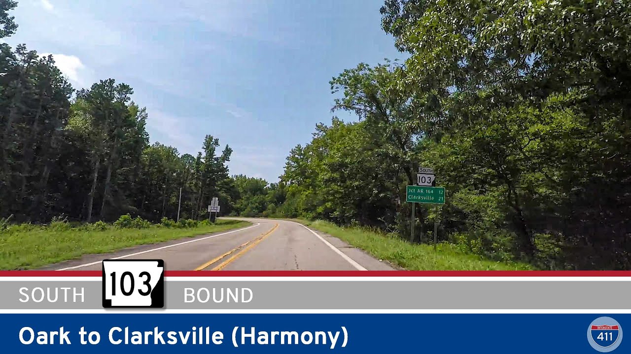
Experience the rugged beauty of Arkansas Highway 103 as it winds 13 miles south from Oark through the heart of the Ozarks to the rural community of Harmony near Clarksville. A short but scenic drive with switchbacks, forest canopies, and open farmland views.
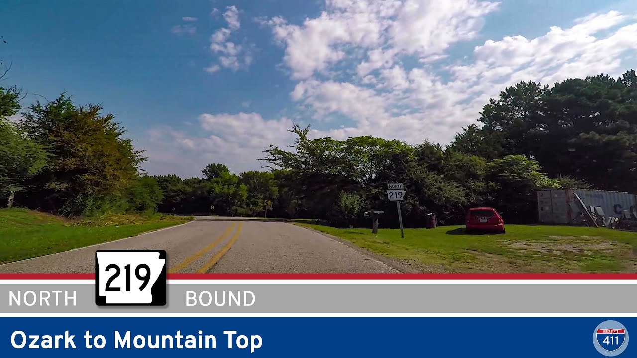
Drive 7 miles north on Arkansas Highway 219 from Ozark to Mountain Top through the scenic foothills of the Boston Mountains. Discover rolling forests, rural charm, and quiet backroad beauty in northwest Arkansas.
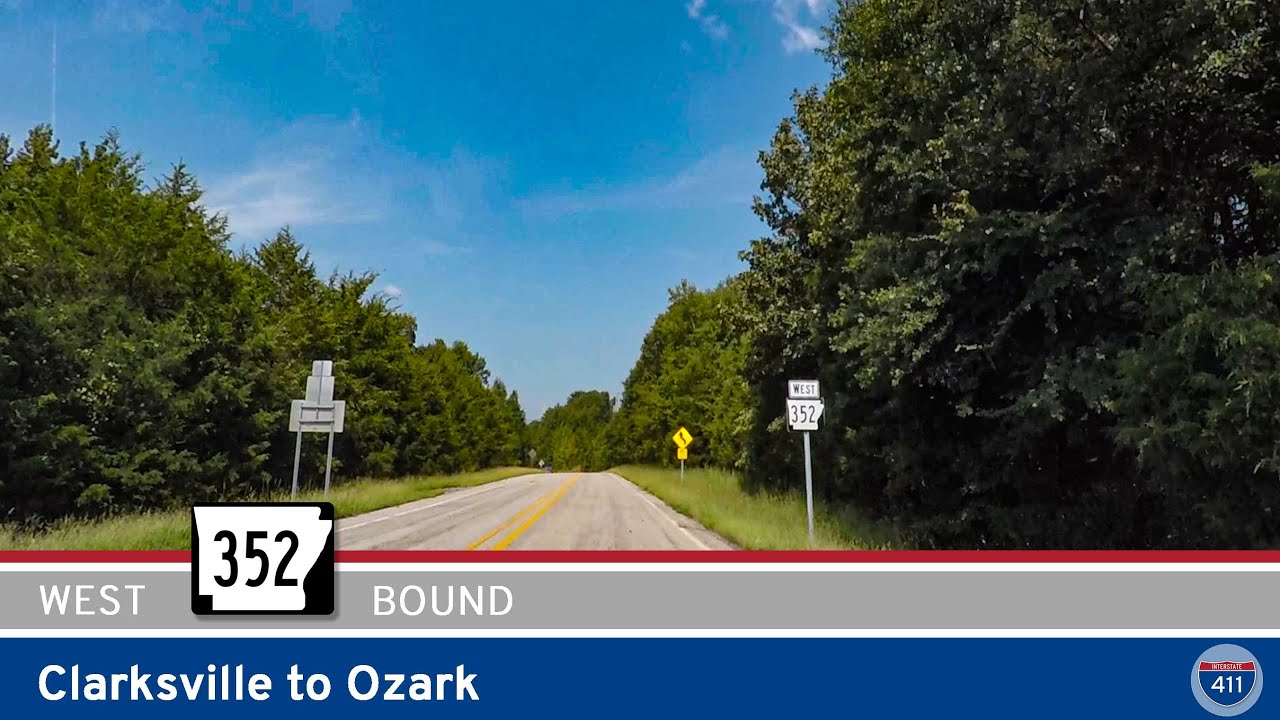
Explore 18 miles of rural Arkansas backroads on Arkansas Highway 352 from Clarksville to Ozark. This peaceful drive crosses farmland, small communities, and offers a scenic break from I-40 traffic.
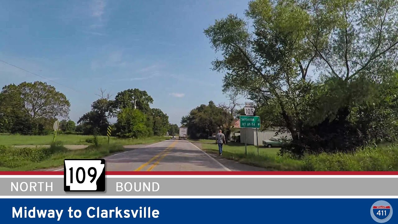
Cruise north on Arkansas Highway 109 from Midway to Clarksville for 13 miles of rural Arkansas scenery — shady hills, farm fields, and a sweeping river crossing on the Ada Mills Bridge over the Arkansas River.
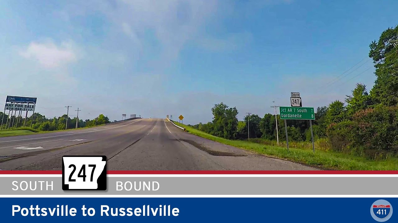
Take a short drive along Arkansas Highway 247 from Pottsville to Russellville, passing schools, quiet neighborhoods, Galla Creek, and into the bustling heart of Russellville. A handy local connector with a touch of small-town scenery.

Cruise the True Grit Trail on Arkansas Highway 22 from Paris to Dardanelle. Enjoy farmland, forest, historic towns, and two crossings of scenic Lake Dardanelle on this beautiful 34-mile drive through the Arkansas River Valley.
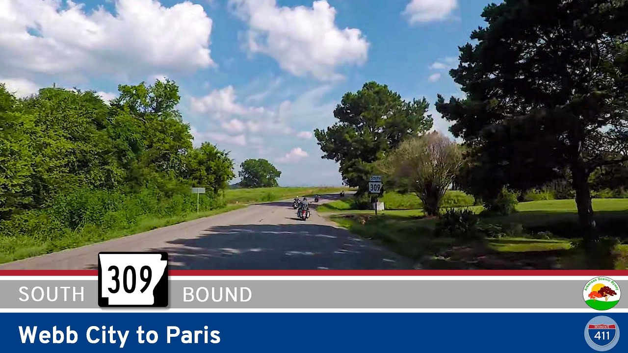
Drive south for 16 miles along Arkansas Highway 309 from Webb City to Paris on the Mount Magazine Scenic Byway. This route treats travelers to classic Arkansas farmland, rural communities like Roseville, and a smooth approach into historic Paris, just north of Highway 2…