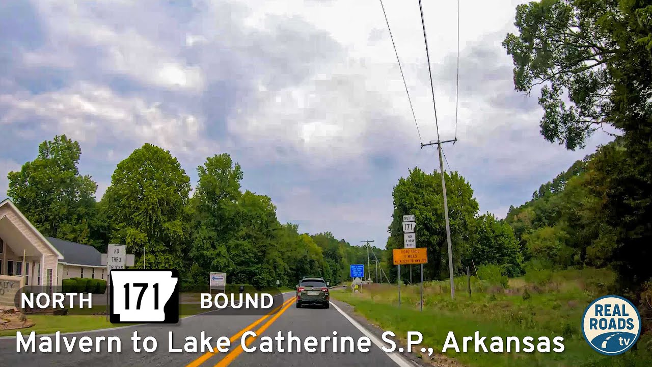
Drive 12 miles along Arkansas Highway 171 from Malvern to Lake Catherine State Park, a scenic route through farmland and forests that connects small-town Arkansas with one of the Ouachitas’ most inviting recreation areas.
State highways form the backbone of regional travel across the United States, offering essential connections between cities, rural communities, and major national routes. Managed by individual state departments of transportation, these highways vary widely in scale—from narrow rural byways to multi-lane expressways rivaling interstates in traffic and speed. While numbering systems and signage conventions differ from state to state, each network plays a critical role in local mobility and economic development.
Unlike the federally designated Interstate and U.S. Highway systems, state highways are developed and maintained at the state level, giving them a unique character and flexibility. Some follow historic paths and scenic corridors, while others serve as modern commuter routes or urban spurs. Many are vital links to state parks, natural attractions, and lesser-known destinations that don’t fall within the national systems.
On this site, we highlight a growing collection of notable state highways, organized by region and state. Whether you’re tracing a scenic loop through the mountains, navigating a fast-moving corridor through a metro area, or exploring forgotten rural routes, our guides offer detailed overviews, and video journeys to help you plan your next adventure.
State Departments of Transportation use different terminology for their designated road systems, with some states using “state highway,” others “state road,” and still others “state route.” These distinctions, though seemingly minor, often reflect historical and legislative traditions within each state. The choice of a particular term can be tied to the legal language used when the road network was first established or expanded. For example, a state might have initially defined its network as a “system of highways” for commerce and travel, while another may have focused on creating a “system of roads” for local and inter-city connections. The term “state route” is often a more modern designation that emphasizes a specific numbered path for navigation rather than the physical characteristics or purpose of the road itself. While the exact reasoning for each state’s choice is complex and rooted in its unique history, the map on the right provides a visual guide to which term is used where.

Drive 12 miles along Arkansas Highway 171 from Malvern to Lake Catherine State Park, a scenic route through farmland and forests that connects small-town Arkansas with one of the Ouachitas’ most inviting recreation areas.
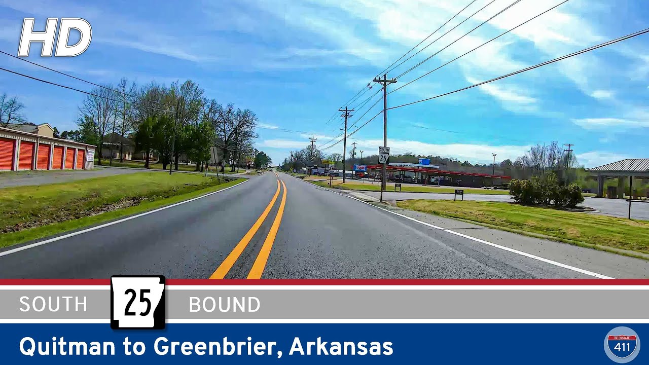
Experience the rolling foothills of central Arkansas on this 14-mile drive along Arkansas Highway 25 from Quitman to Greenbrier. Travel through farmland, wooded ridges, and the small towns of Enders and Guy before reaching U.S. 65 in Greenbrier.
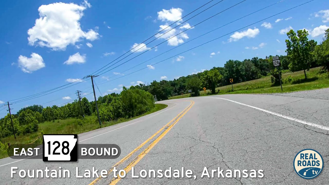
Discover the quiet charm of Arkansas Highway 128, a short connector from Fountain Lake to Lonsdale. This rural drive winds through wooded ridges and farmland, linking Garland and Saline Counties while offering a peaceful alternative to busier highways.
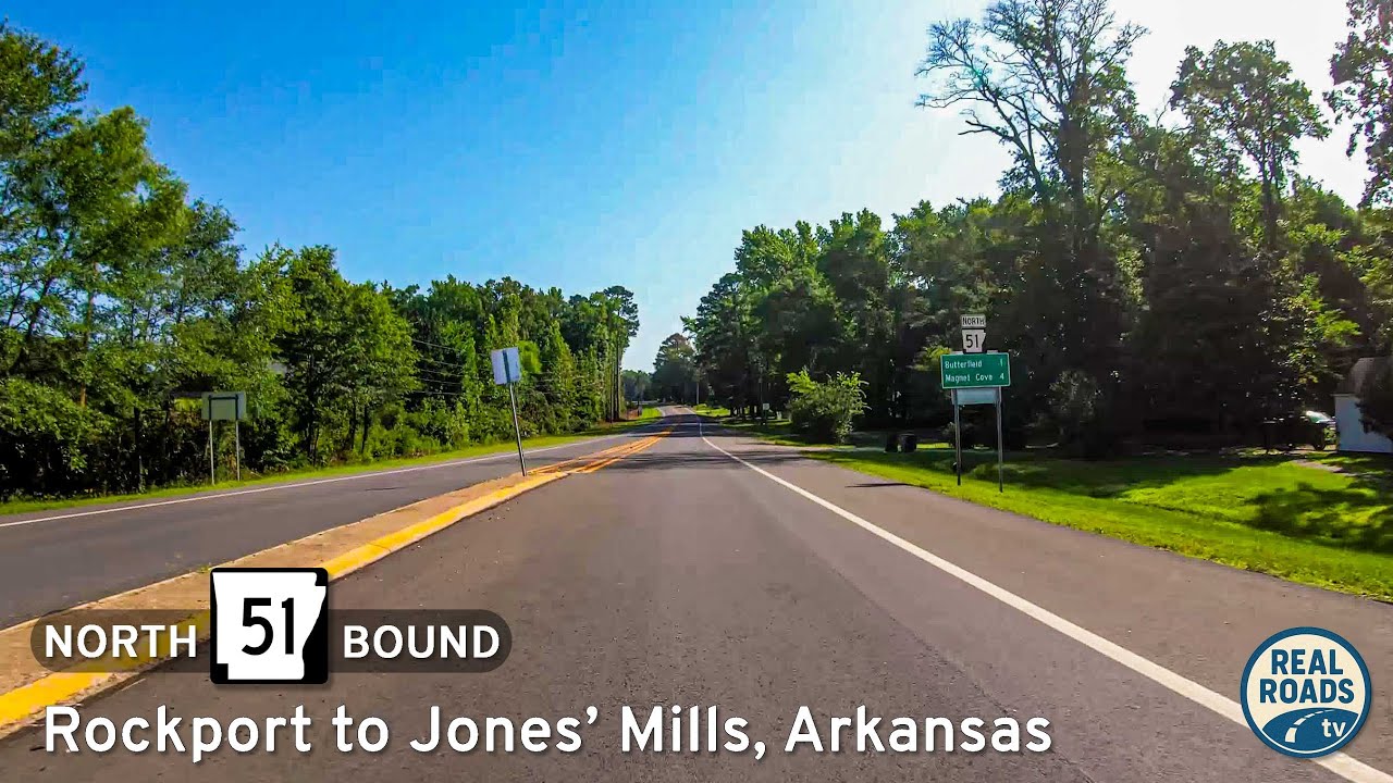
Experience a short but scenic drive along Arkansas Highway 51 from Rockport to Jones’ Mills in Hot Spring County. Discover wooded hillsides, rural charm, and the history of this quiet Arkansas backroad.
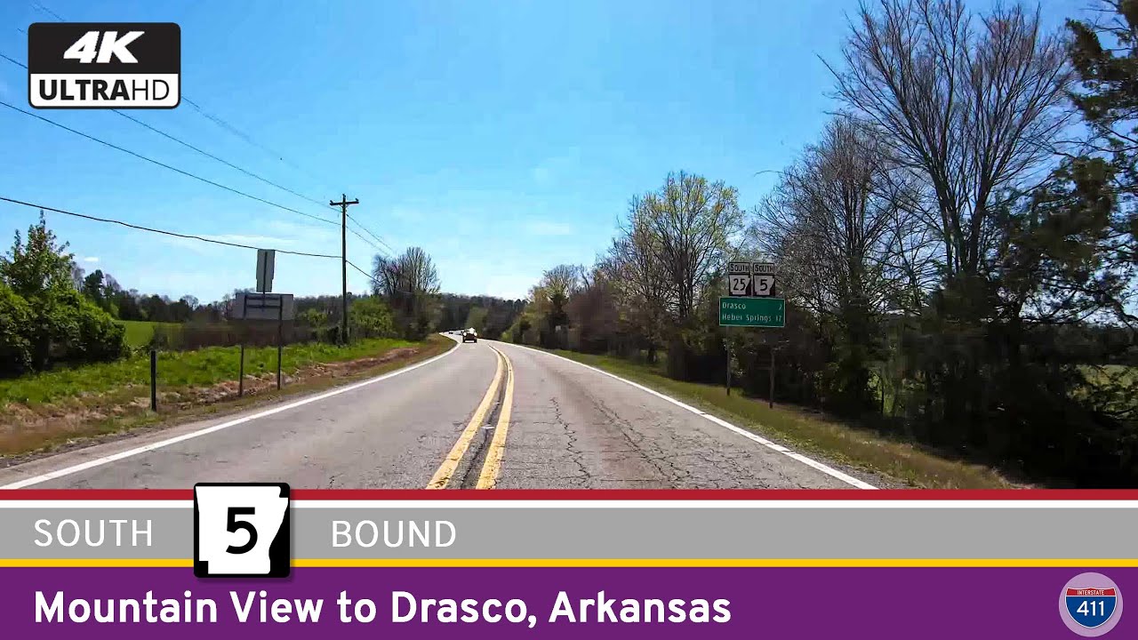
Explore Arkansas Highway 5 from Mountain View to Drasco — a 26-mile drive through Ozark foothills, farmland, and forest. Discover folk culture, quiet valleys, and timeless scenery along this winding Arkansas route.
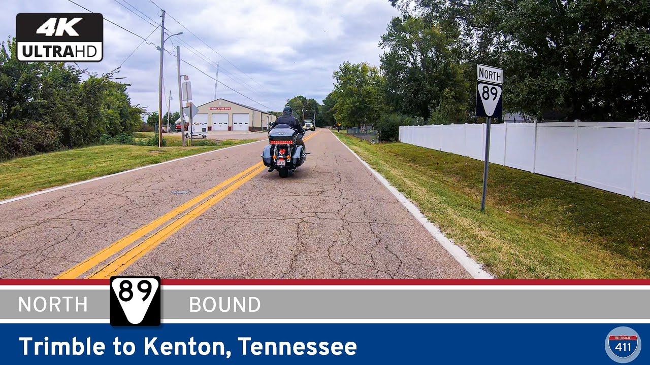
Drive 10 miles along Tennessee Route 89 from Trimble to Kenton through the farmland of northwest Tennessee. Explore quiet towns, rural landscapes, and the relaxed pace of life that defines this corner of the Volunteer State.
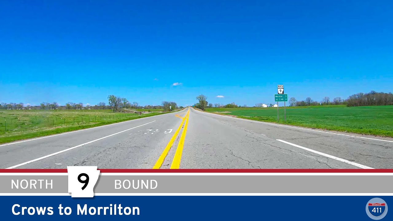
Follow Arkansas Highway 9 for 46 miles from Crows to Morrilton, passing through Paron, Perryville, and the Arkansas River Valley with access to Petit Jean State Park along the way.
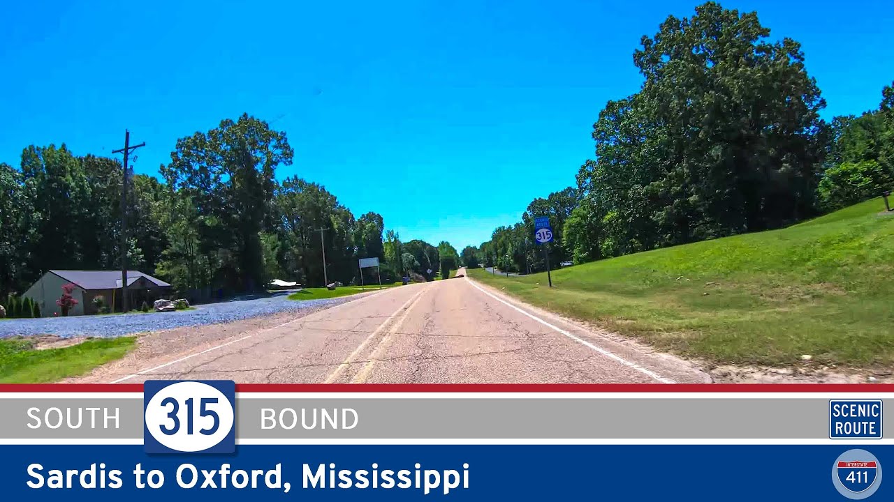
Discover the scenic 5-mile drive along Mississippi Highway 315 from Sardis to Oxford. Pass beneath the massive Sardis Dam, wind through wooded hills and farmland, and finish at the gateway to Oxford’s cultural and university life.
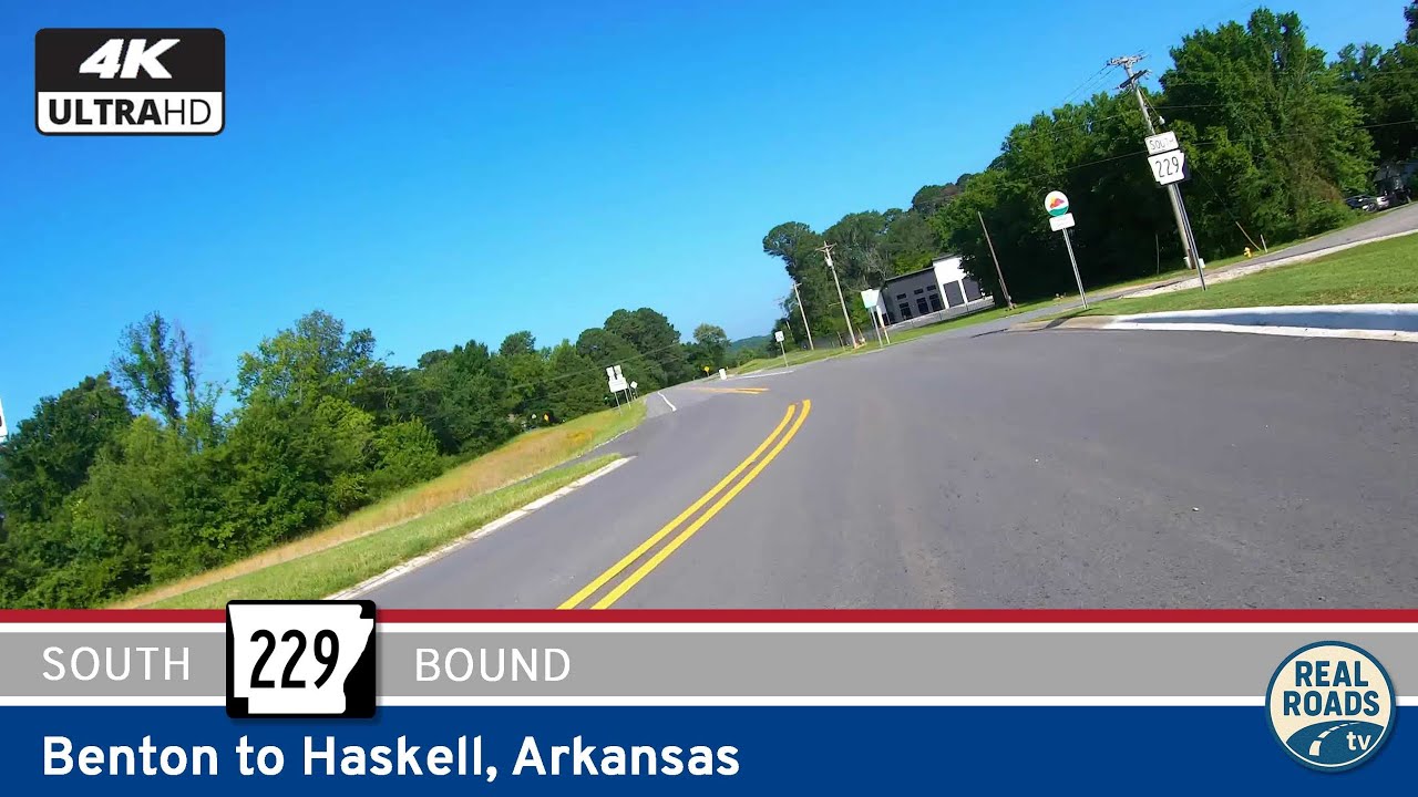
Take a short drive along Arkansas Highway 229 from Benton to Haskell, a two-mile stretch of old U.S. 67 that blends small-town character with the history of Arkansas’s highway network.
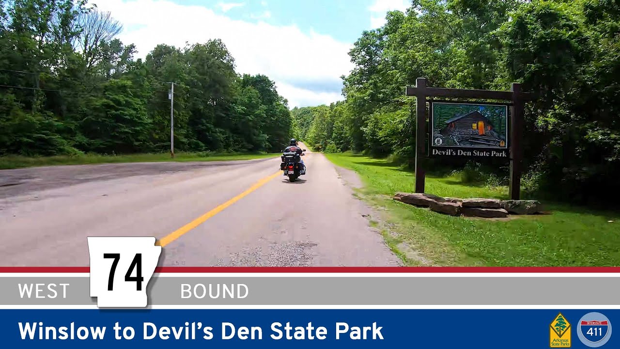
Take a scenic drive along Arkansas Highway 74 from Winslow to Devil’s Den State Park, a winding Ozark backroad filled with forested ridges, tight curves, and stunning views that lead into one of Arkansas’s most iconic parks.
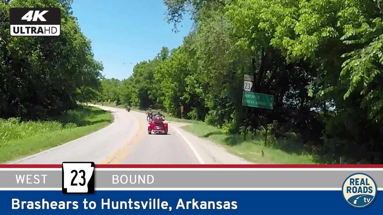
Travel Arkansas Highway 23 from Brashears to Huntsville, winding through the Ozark Highlands with forested ridges, rolling valleys, and the scenic entrance to Withrow Springs State Park.
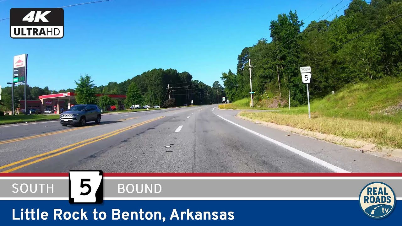
Follow Arkansas Highway 5 from Little Rock to Benton along the historic Stagecoach corridor. Explore 13 miles of suburban neighborhoods, wooded stretches, and local landmarks, including the Geographic Center of Arkansas.