
Take a cruise through the rolling green hills and quiet river valleys of eastern Oklahoma as we travel 53 miles northwest along the Muskogee Turnpike, from Webbers Falls to Broken Arrow on the eastern edge of the Tulsa metro. This controlled-access route threads through a mix of farmland, woodlands, and small-town crossroads, providing a fast and scenic alternative to surface roads while linking eastern Oklahoma communities with the economic and cultural engine of Tulsa.
We begin our journey merging onto the Muskogee Turnpike from Interstate 40 near Webbers Falls, a small community tucked along the Arkansas River. As we climb northward, the turnpike curves gently through pastureland and timbered ridges, offering long views of the Ozark foothills in the distance. Before long, we reach the first toll plaza, a familiar fixture of Oklahoma’s turnpike system. The countryside here remains largely undeveloped, with occasional glimpses of farmsteads and access roads that hint at the rural life just beyond the concrete.
Soon, we arrive at the outskirts of Muskogee, where the turnpike transitions into Oklahoma Highway 165, a free section of the expressway that carries us through the southern part of the city. This stretch offers access to Muskogee’s major commercial and residential zones and features a cloverleaf interchange with U.S. Route 62, one of the city’s main east-west arteries. Though the expressway here sheds its toll status, it remains a quick and efficient corridor, lined by neighborhoods, businesses, and wooded buffers that help it maintain a parkway-like feel even within the urban area.
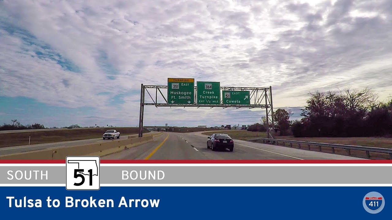
Leaving Muskogee behind, the Muskogee Turnpike resumes its toll designation as we angle northwest once more. The road straightens and climbs slightly as it bypasses the communities of Taft and Haskell, paralleling sections of old Highway 64 and passing through landscapes dotted with pecan groves and small ponds. As we approach the interchange with U.S. 69 and State Route 51, the terrain flattens slightly, and we find ourselves approaching one of the route’s most welcome amenities: the lone service plaza along the turnpike, offering a brief but appreciated break for fuel, snacks, and restrooms.
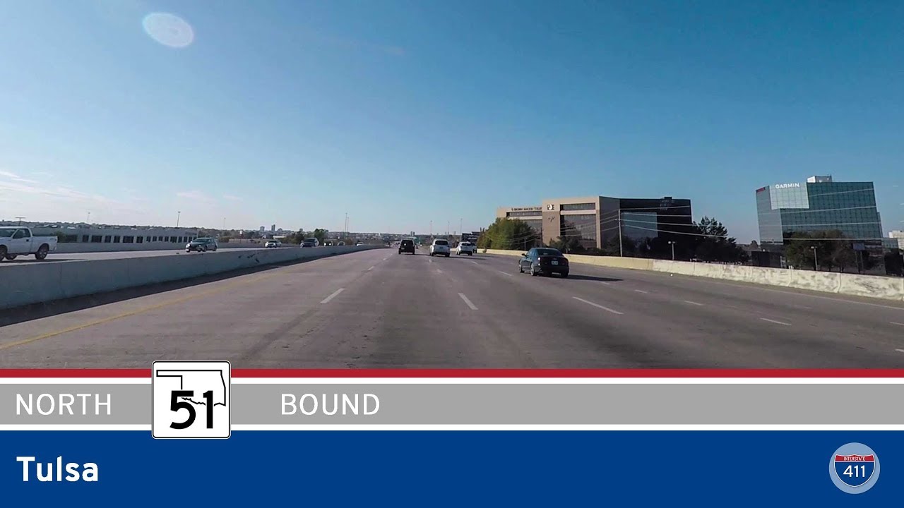
Beyond the service plaza, we encounter the final toll plaza of our trip before the expressway carries us into Broken Arrow, a growing suburb on Tulsa’s southeastern edge. The road arcs north and merges with Oklahoma Highway 51, better known locally as the Broken Arrow Expressway or the Creek Turnpike, marking the official end of the Muskogee Turnpike. From here, traffic disperses into Tulsa proper or continues west into the heart of the city, with connections to I-44, U.S. 64, and other regional routes.
Though not as famous as its counterparts like the Turner or Will Rogers Turnpikes, the Muskogee Turnpike plays a vital role in eastern Oklahoma’s transportation network—offering a peaceful, reliable corridor between the Arkansas River Valley and the Tulsa metro. Whether you’re a local commuter or a cross-state traveler, this route blends convenience with scenery in a way that makes the drive feel shorter than its mileage would suggest.
🗺️ Route Map
0 Comments