Missouri State Highways

Explore Missouri State Highways, including numbered and lettered routes across the state. Learn how MoDOT’s system connects cities, rural towns, and scenic byways throughout Missouri.

Missouri’s state highway system forms a vital transportation network that complements the state’s extensive Interstate and U.S. Route corridors. Administered by the Missouri Department of Transportation (MoDOT), these highways span both urban centers and rural communities, providing critical links for commuters, freight transport, and travelers exploring the Show-Me State. Missouri’s highway numbering system includes both lettered routes—unique to Missouri—and traditionally numbered state highways.

A distinctive feature of Missouri’s system is its use of lettered routes, such as Route D or Route JJ, which often serve as connectors or rural access roads. These supplement the more conventional numbered state highways, like Route 5 or Route 13, which span longer distances and serve as major north-south or east-west corridors. Numbered routes typically carry more traffic and connect with Interstates and U.S. Highways, while lettered routes may be short segments linking small towns or serving local agriculture.

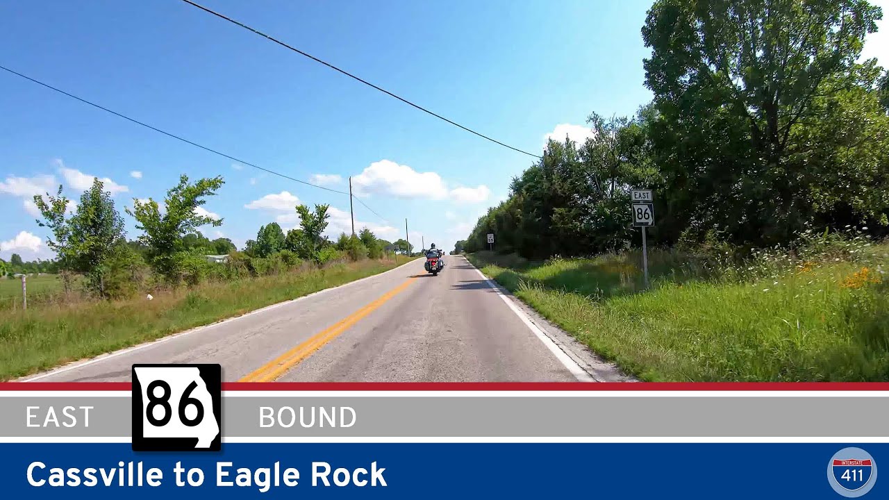
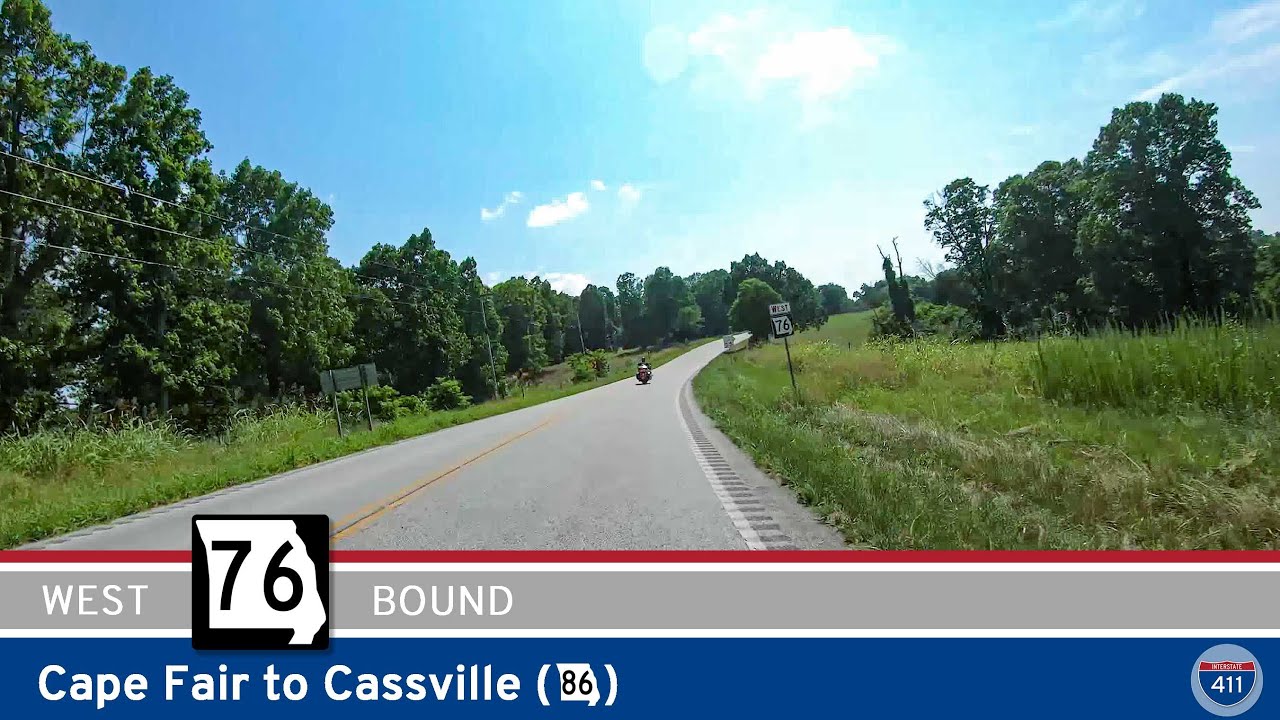
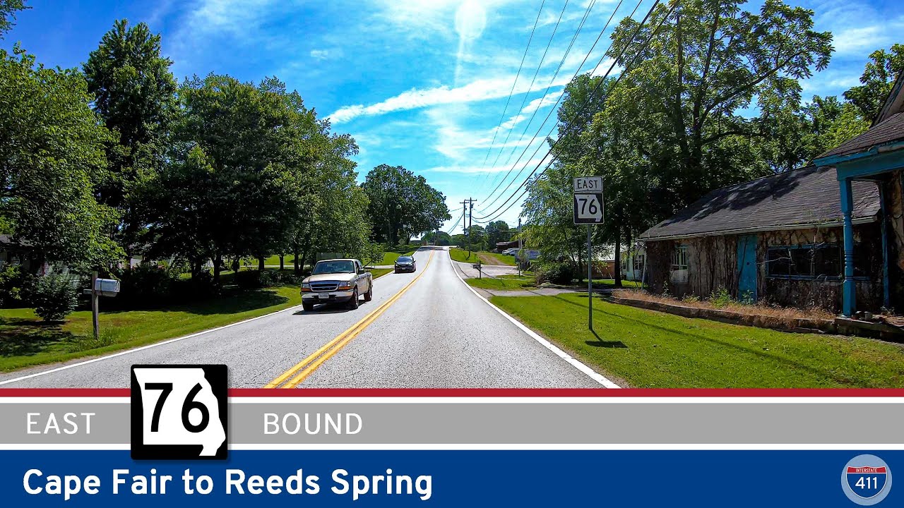
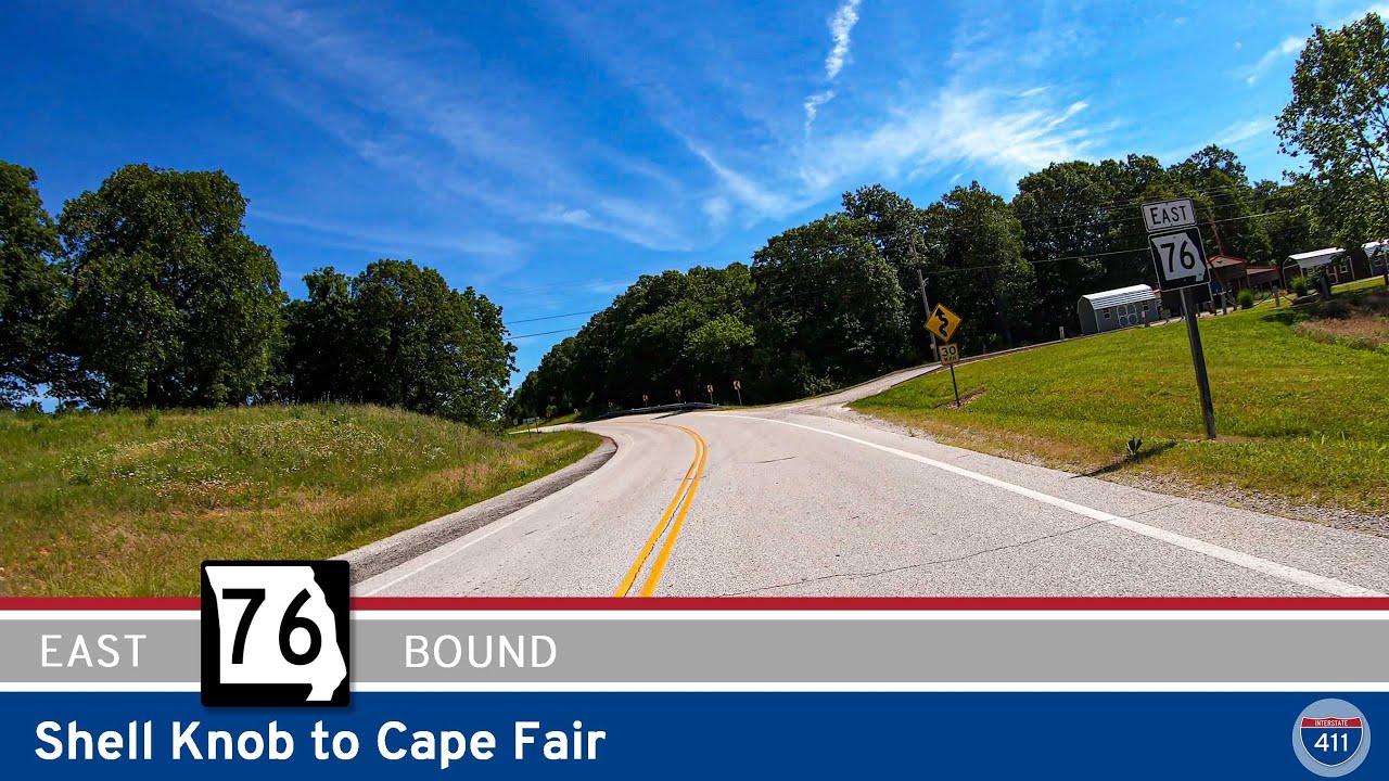
Missouri’s diverse topography—from the Ozark Mountains to the Mississippi River plains—means that its state highways offer more than just transportation; they’re a gateway to scenic byways, historical towns, and outdoor recreation. Whether navigating Route 76 through Branson or traveling the rural stretches of Route 36 in the north, Missouri’s highways reflect a blend of function and heritage found only in the heart of the Midwest.

Tour Missouri State Highways

Explore Missouri Route 125 from the Arkansas state line to Rueter in this scenic 11-mile drive through the Ozark hills. From the historic Peel Ferry to quiet forests near US-160, this peaceful rural route offers a glimpse into Missouri’s backroads charm.

Missouri Route 125: Arkansas to Rueter [Revisited]

Explore Missouri Route 125 from the Arkansas state line to Rueter in this scenic 11-mile drive through the Ozark hills. From the historic Peel Ferry to quiet forests near US-160, this peaceful rural route offers a glimpse into Missouri’s backroads charm.

Missouri Highway 266: Springfield to Halltown

Missouri Highway 266: Springfield to Halltown

Cruise 17 scenic miles along Missouri Highway 266 from Springfield to Halltown, following a historic alignment of Route 66. Discover antique shops, farmland views, and the famous Gay Parita Sinclair Station on this short but memorable stretch of road.

Missouri Route 86 – Cassville to Eagle Rock

Missouri Route 86 – Cassville to Eagle Rock

If you’re looking for an iconic Ozark drive that balances wooded solitude with classic lakeside charm, Missouri Route 86 from Cassville to Eagle Rock checks all the right boxes. This 13-mile stretch takes us from the small-town vibes of Cassville, winds us through the…

Missouri Route 76: Cape Fair to Cassville

Missouri Route 76: Cape Fair to Cassville

Take a 22-mile drive along Missouri Route 76 from Cape Fair to Cassville and experience classic Ozark scenery, lakeside views near Table Rock Lake, forested hills, and access to Roaring River State Park. Perfect for scenic drives, outdoor adventures, and exploring Misso…

Missouri Route 76: Reeds Spring to Cape Fair

Missouri Route 76: Reeds Spring to Cape Fair

Cruise 9 miles along Missouri Route 76 from Reeds Spring to Cape Fair, enjoying a true Ozarks experience with lake views, wooded hills, and classic small towns. Discover local cafés, scenic pull-offs at Table Rock Lake, and laid-back vibes in Cape Fair—perfect for an…

Missouri State Route 76: Cape Fair to Reeds Spring

Missouri State Route 76: Cape Fair to Reeds Spring

Drive Missouri State Route 76 for 9 scenic miles from Cape Fair to Reeds Spring, crossing Table Rock Lake and winding through the wooded hills of the Ozarks. Discover lakeside views, forested landscapes, and classic small-town Missouri charm on this quick but memorable …

Missouri State Route 76: Shell Knob to Cape Fair

Missouri State Route 76: Shell Knob to Cape Fair

Take a scenic 13-mile drive along Missouri State Route 76 from Shell Knob to Cape Fair, winding through the heart of the Mark Twain National Forest and alongside beautiful Table Rock Lake. Experience classic Ozark scenery, lakeside charm, and peaceful forested stretches…

Missouri State Route 39: Carr Lane to Shell Knob

Missouri State Route 39: Carr Lane to Shell Knob

Take a scenic nine-mile drive along Missouri State Route 39 from Carr Lane to Shell Knob, winding through Ozark valleys, charming rural communities, and across the stunning Shell Knob bridge over Table Rock Lake. This route offers a perfect mix of forested hillsides, wa…

Missouri State Route 39:  Shell Knob

Missouri State Route 39: Shell Knob

Take a scenic drive along Missouri State Route 39 in Shell Knob, just north of Table Rock Lake. Explore lakeside parks, winding forest highways, and a beautiful scenic overlook in the Ozarks. Perfect for road trippers, nature lovers, and anyone craving classic Missouri …

[Revisited] Missouri Route 86: Eagle Rock to Carr Lane

[Revisited] Missouri Route 86: Eagle Rock to Carr Lane

Take a scenic drive through Missouri’s Ozark foothills along Route 86 from Eagle Rock to Carr Lane. This 9-mile route features lake access, forested hills, a Kings River crossing, and easy connections to both local attractions and the Arkansas border. Perfect for road…

Missouri Supplemental Route E: Big M to Eagle Rock

Missouri Supplemental Route E: Big M to Eagle Rock

Cruise 5 miles along Missouri Supplemental Route E from Big M to Eagle Rock and discover the beauty of the Ozarks. This scenic route hugs Table Rock Lake, winds through the Mark Twain National Forest, and delivers peaceful rural charm all the way to Eagle Rock.