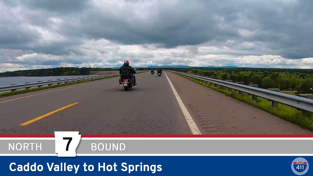
Cruise 27 miles along Scenic Arkansas Highway 7 from Caddo Valley to Hot Springs, passing DeGray Lake, Corps of Engineers parks, the town of Bismarck, and the southern Ouachita Mountains before rolling into the historic spa city.
Spanning more than 16,000 miles, the Arkansas State Highway System is a critical part of the state’s transportation infrastructure, connecting rural towns, bustling cities, and natural landmarks across the Natural State. Established in 1924, the system includes hundreds of numbered routes maintained by the Arkansas Department of Transportation (ARDOT). From the delta flatlands to the peaks of the Ozark and Ouachita Mountains, these highways offer travelers a diverse and scenic journey through Arkansas’s unique topography and cultural heritage.
Notable among the system are routes like Highway 7, which winds through the heart of the Ozarks and is designated as one of the most scenic byways in the country. Highway 10 provides access to the Ouachita Mountains and picturesque river valleys, while eastern routes like Highway 1 cut through fertile delta farmland rich in history and tradition. Many Arkansas state highways also serve as connectors to interstates and U.S. routes, forming a vital web of mobility for both commerce and tourism.
With hundreds of individual routes, each numbered state highway tells its own story. Whether you’re exploring charming small towns, navigating forested hills, or tracing historic pathways, Arkansas’s state highways provide more than just a way to get from point A to B—they invite you to discover the state’s natural beauty, rural character, and welcoming communities one mile at a time.
Cruise 27 miles along Scenic Arkansas Highway 7 from Caddo Valley to Hot Springs, passing DeGray Lake, Corps of Engineers parks, the town of Bismarck, and the southern Ouachita Mountains before rolling into the historic spa city.
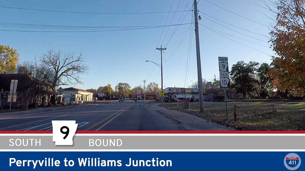
Cruise 10 miles along Arkansas Highway 9 from Perryville to Williams Junction, winding through the wooded foothills of the Ouachita Mountains with river crossings, rural communities, and classic Arkansas scenery.
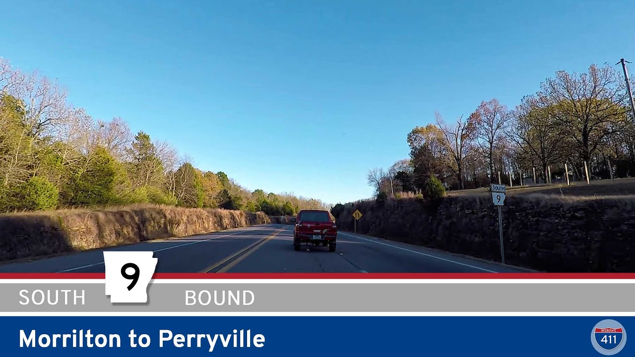
Explore Arkansas Highway 9 from Morrilton to Perryville—a 15-mile drive showcasing river crossings, farmland, and the rolling Ouachita Foothills. Perfect for a quick scenic escape through the heart of central Arkansas.
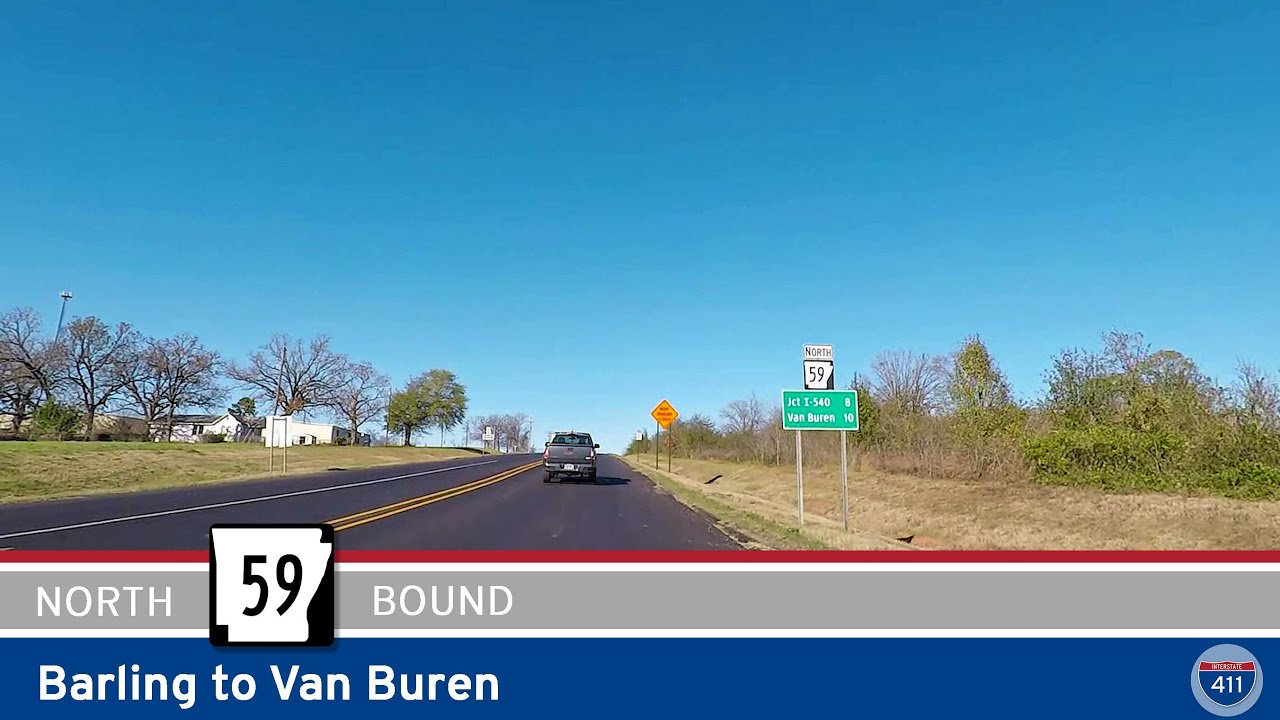
Cruise north for 10 miles along Arkansas Highway 59 from Barling to Van Buren, crossing the Arkansas River on the James W. Trimble Lock & Dam, passing riverside parks, and finishing in the historic heart of Van Buren.
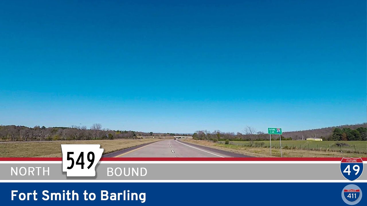
Take a quick ride along Future Interstate 49 from Fort Smith to Barling, Arkansas. Explore this short but crucial stretch through Fort Chaffee, connecting local neighborhoods and setting the stage for I-49’s expansion through the region.
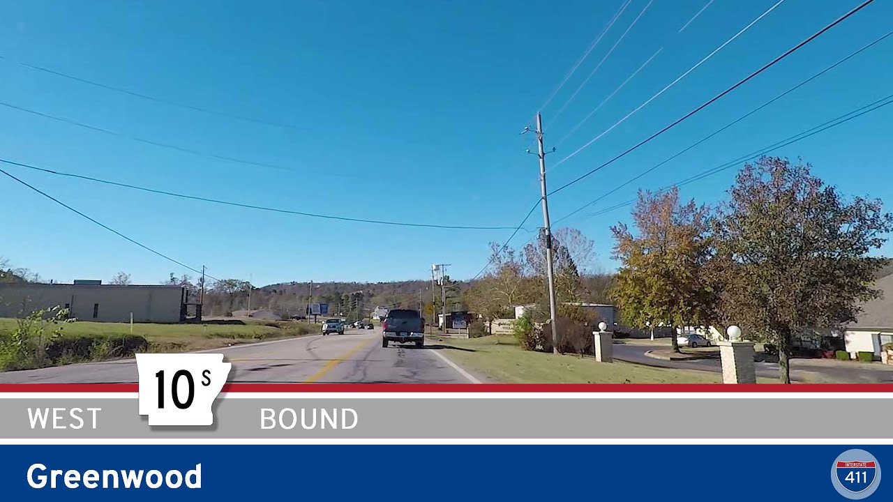
Cruise westbound on Arkansas Highway 10S through Greenwood, Arkansas. This short three-mile stretch connects downtown’s historic square with the town’s main shopping hub and U.S. Highway 71 — a quick look at Greenwood’s local life and easy travel connections.
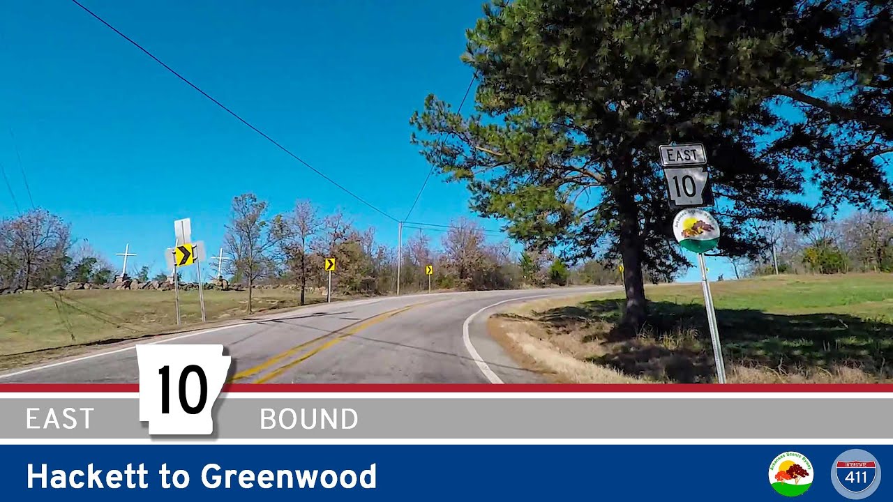
Cruise Arkansas Highway 10 for 10 miles east from Hackett to Greenwood. This scenic drive combines peaceful forest stretches, classic Arkansas farmland, and a charming small-town finish in Greenwood’s downtown square.
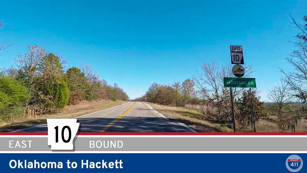
Travel Arkansas Highway 10 for 1.5 miles from the Oklahoma State Line to Hackett, enjoying a brief but scenic drive through farmland and a quiet small town along Arkansas’s western border.
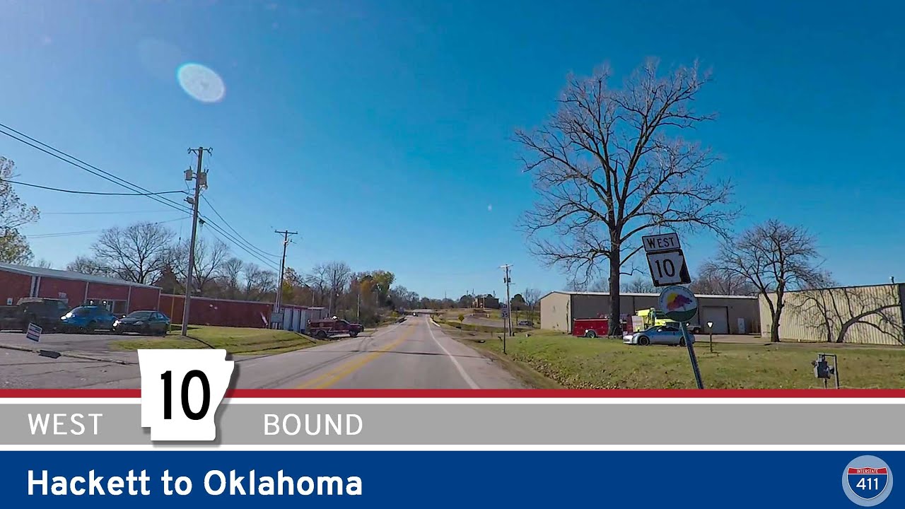
Drive 1.5 miles west along Arkansas Highway 10 from Hackett to the Oklahoma state line, passing through peaceful rural farmland and enjoying a glimpse of the Arkansas River Valley’s small-town scenery before connecting to Oklahoma’s countryside.
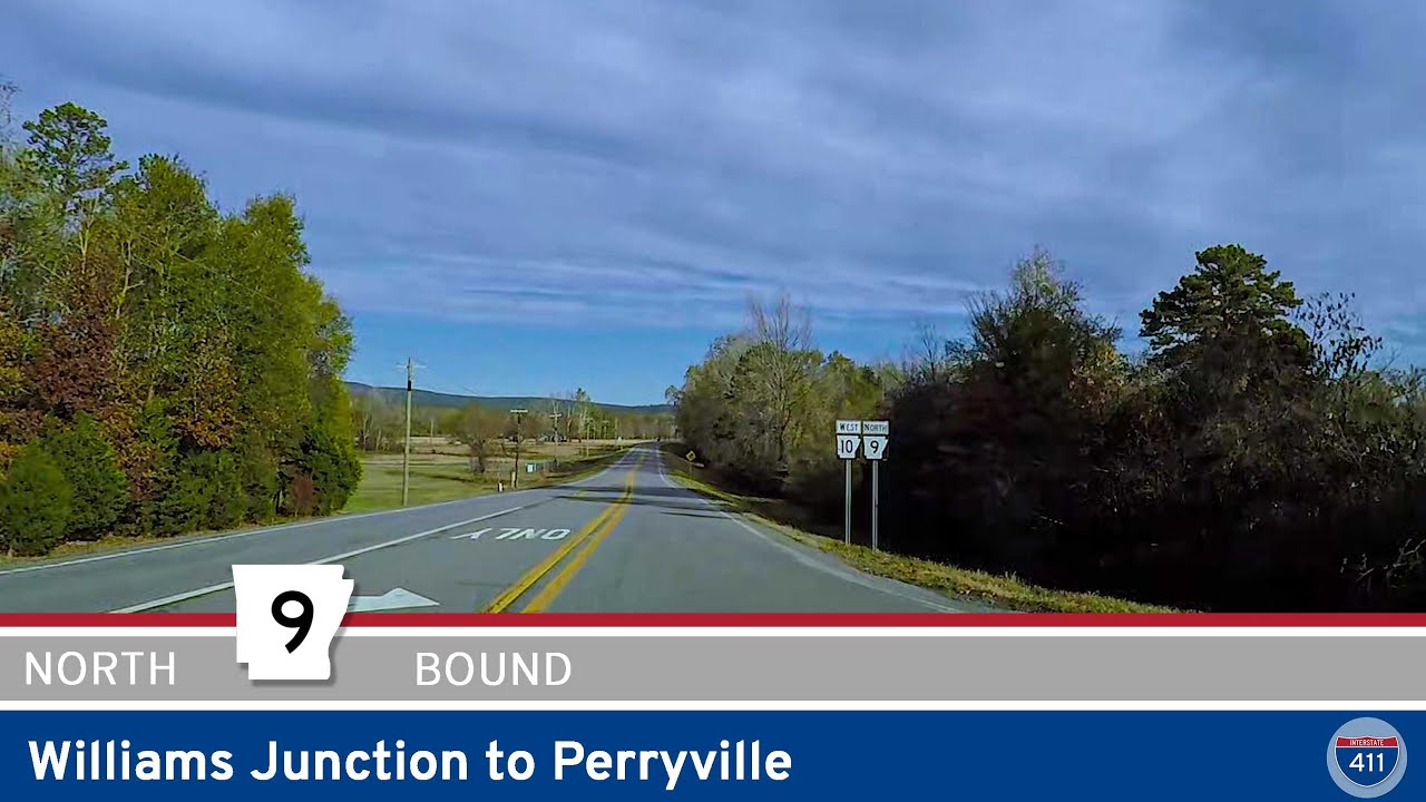
Take a relaxing 10-mile drive along Arkansas Highway 9 from Williams Junction to Perryville. Wind through the Ouachita foothills, cross the scenic Fouche La Fave River, and arrive in the friendly heart of Perry County, Arkansas.
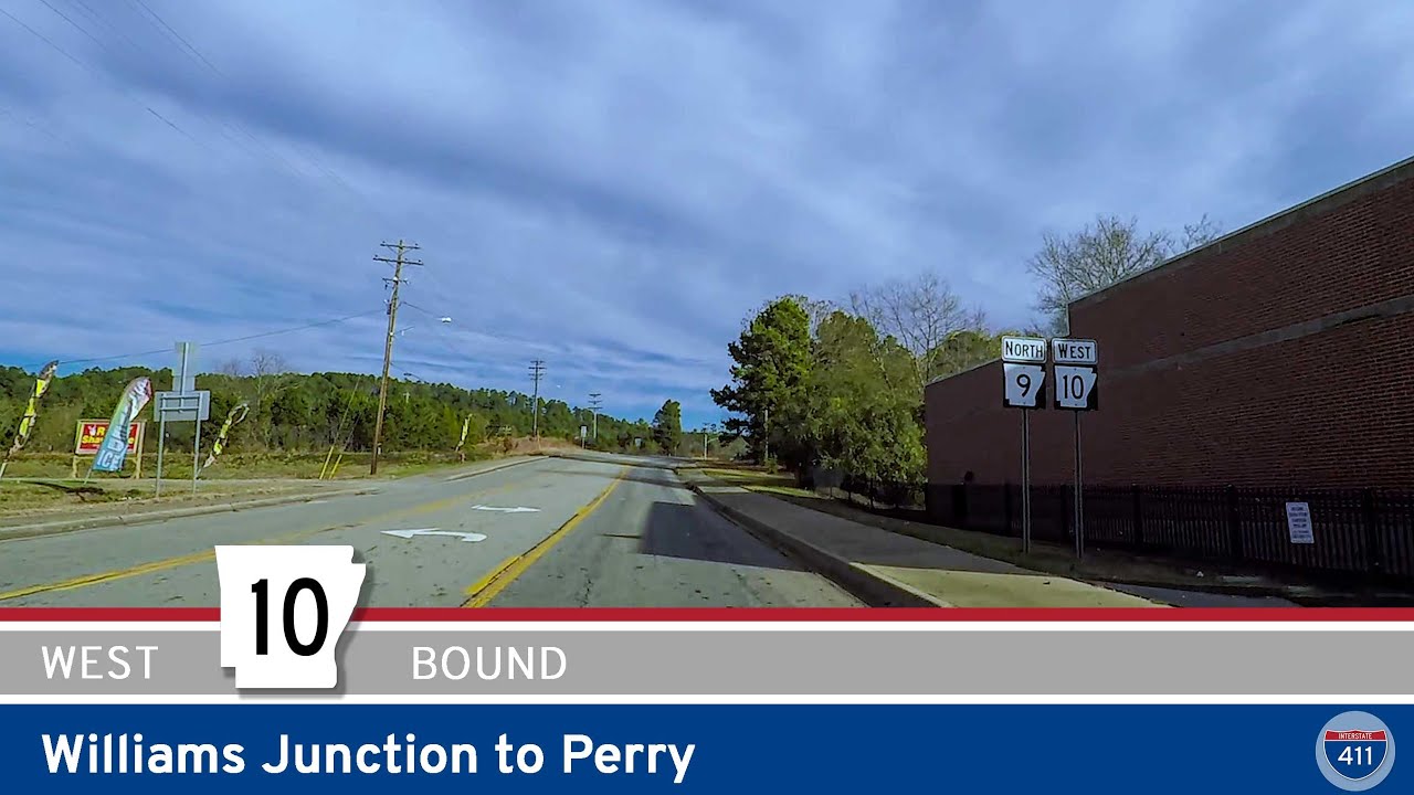
Experience the winding hills and small-town charm of Arkansas Highway 10 from Williams Junction to Perry. This 14-mile drive through the Ouachita foothills offers peaceful forests, a quiet river crossing, and easy access to local outdoor spots like Lake Sylvia.

Cruise 19 miles west along Arkansas Highway 10 from west Little Rock to Williams Junction. Enjoy peaceful drives beside Lake Maumelle, forested foothills, and connections to local recreation near the Ouachita Mountains.