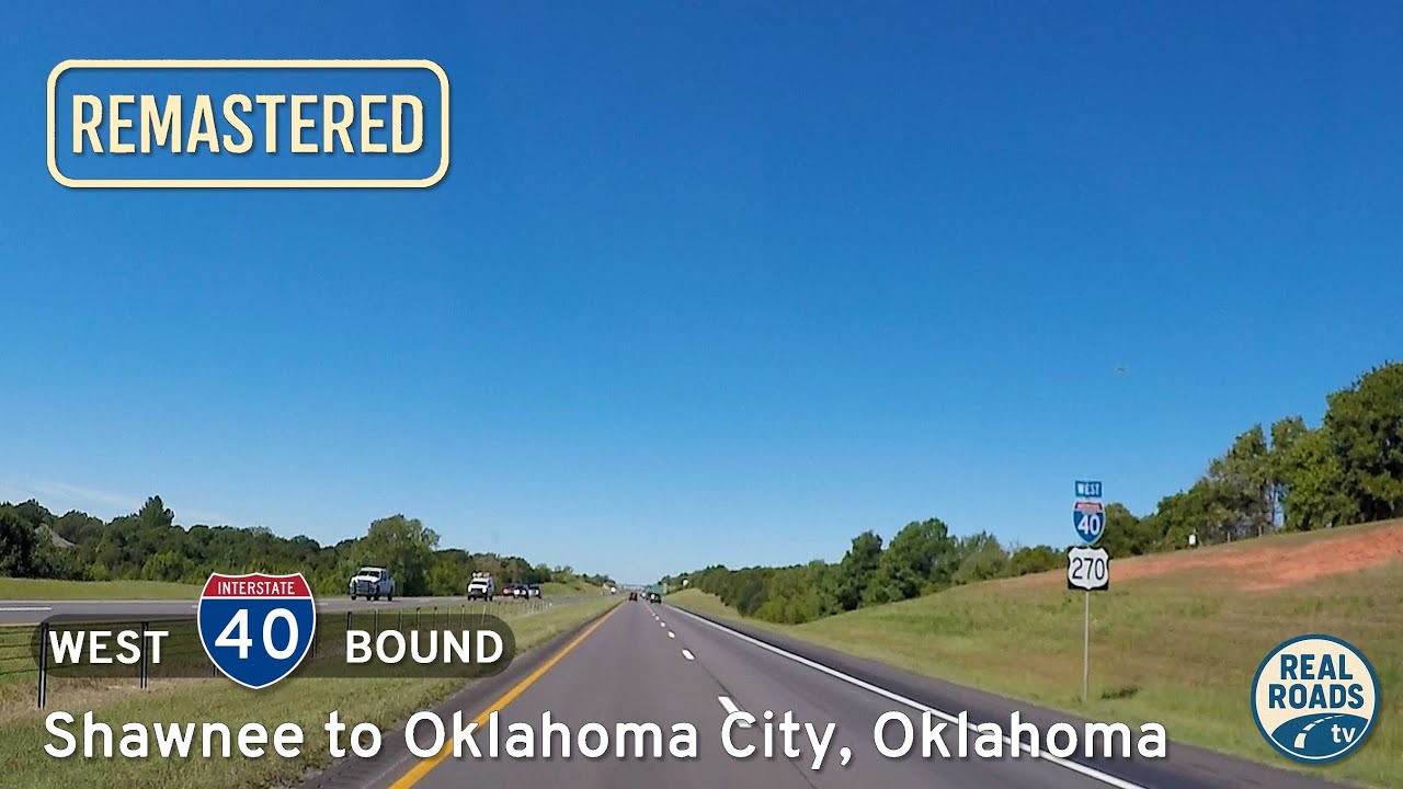
Drive west along Interstate Forty from Shawnee to Oklahoma City in this twenty sixteen snapshot of central Oklahoma’s primary east–west corridor, capturing the route before the Kickapoo Turnpike reshaped regional traffic patterns.
The 🛤️ Lost Highway tag is used for videos and segments that feature roads, alignments, or highways that have been abandoned, decommissioned, or significantly altered to the point that they no longer exist in their original form. These routes may now be ghost roads, repurposed as local streets, or completely erased from the landscape by development or nature.
Often overshadowed by modern infrastructure, these lost highways represent a bygone era of travel—old alignments that were once vital connectors, now bypassed, submerged, or reclaimed by the environment. Some still have visible traces like cracked pavement, faded signage, or bridge remnants, while others live on only through documentation and memory.
This tag serves as a historical archive for viewers interested in transportation history, showcasing the evolution of America’s road network and the places that have been quite literally left behind. It’s about honoring the legacy of travel—even where the road no longer leads.
Drive west along Interstate Forty from Shawnee to Oklahoma City in this twenty sixteen snapshot of central Oklahoma’s primary east–west corridor, capturing the route before the Kickapoo Turnpike reshaped regional traffic patterns.
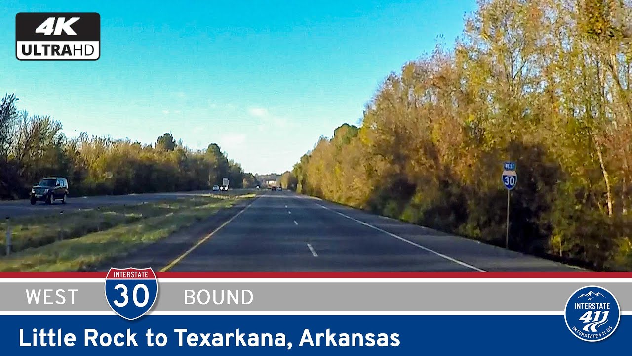
Take a scenic 129-mile journey down Interstate 30 from Little Rock to Texarkana, Arkansas, exploring a “lost highway” segment before major upgrades. Discover small towns, pine forests, and historical landmarks on this classic corridor to Texas.
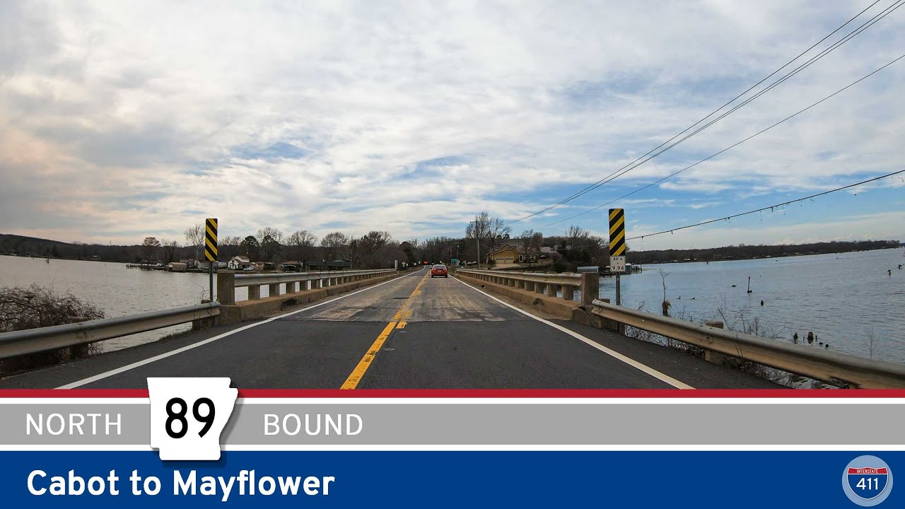
Explore the scenic route of Arkansas Highway 89 from Cabot to Mayflower, a 25-mile drive through rural towns, farmland, and along the edge of Camp Robinson. This segment includes a historic alignment and the new Mayflower bypass.
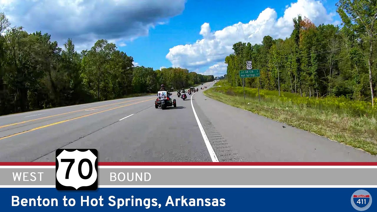
Cruise 19 miles west on U.S. Highway 70 from Benton to Hot Springs, Arkansas, passing local spurs, wooded hills, and easy access to state parks before arriving in this historic spa town.
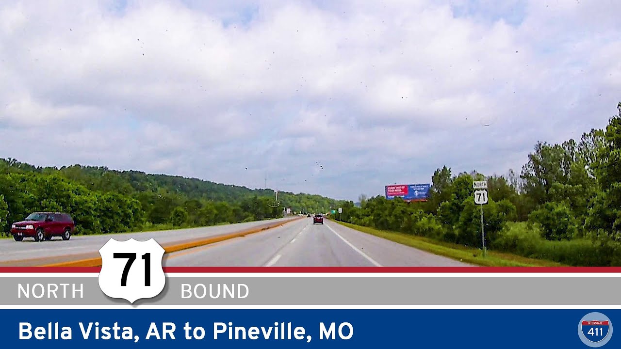
Drive 22 miles north along Interstate 49 from Bella Vista, Arkansas to Pineville, Missouri, tracing the modern upgrade of the historic U.S. Highway 71 route through the Ozark foothills. Discover smooth bypasses, quick travel, and local attractions along the way.
![[Former] Arkansas Highway 113: Morrilton to Blackwell](https://mail.realroads.tv/wp-content/uploads/2025/06/im37suxarkomaxresdefault.jpg)
Cruise 8 miles along Arkansas Highway 113 from Morrilton to Blackwell and experience small-town charm, historic bridges, and rich farmland in the Arkansas River Valley.
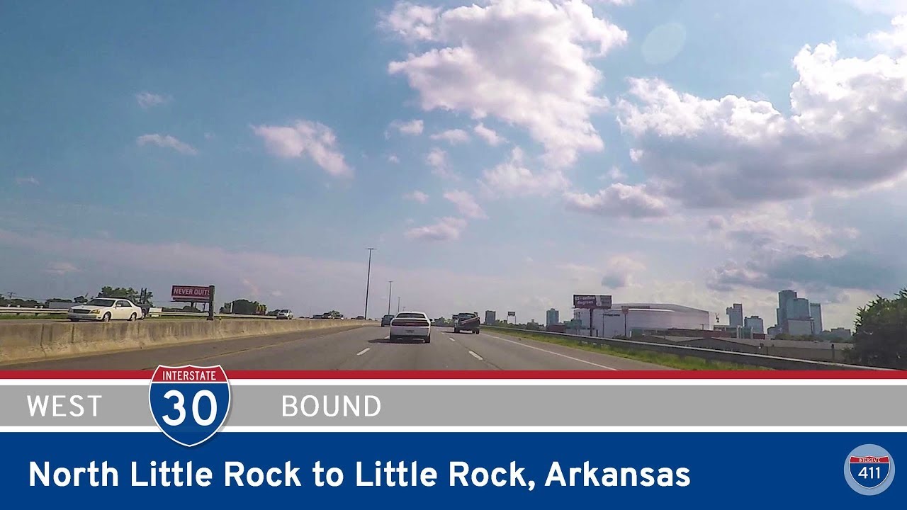
Take a drive on the former layout of Interstate 30 through North Little Rock and Little Rock, Arkansas — captured before the major reconstruction projects transformed the corridor. See the old interchanges, bridges, and junctions as they were.
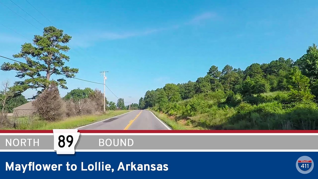
Take a drive on the older alignment of Arkansas Highway 89 from Mayflower to Lollie in Faulkner County, Arkansas. This 4-mile video showcases a now-rerouted segment of the highway, offering a quiet, scenic journey past creeks, cemeteries, and Stone Lake before ending at…

Cross the Mississippi River on Interstate 55 from Memphis, TN to West Memphis, AR. Filmed before the Crump Blvd upgrade, this 4-mile stretch captures the aging Memphis-Arkansas Bridge before I-55 shifts to a future new river crossing.
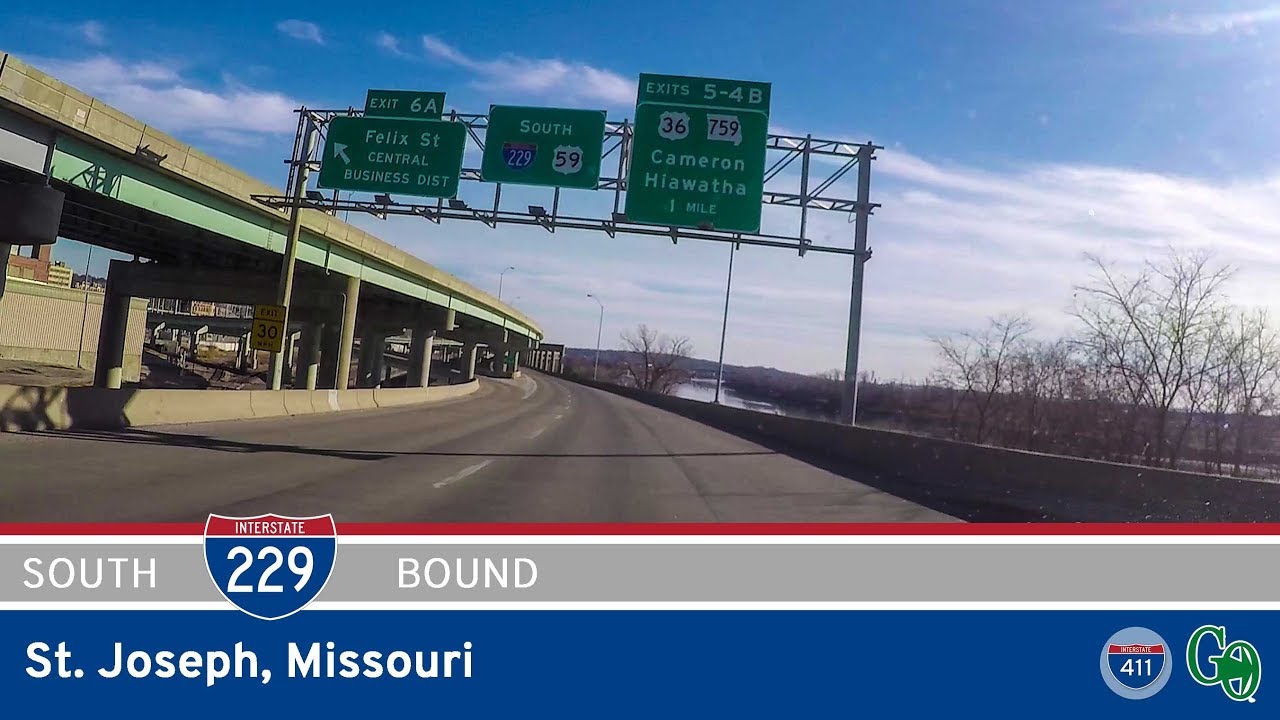
Take a drive along Interstate 229 through St. Joseph, Missouri—a rare double-deck freeway tracing the Missouri River. Explore this 7-mile route before its upcoming decommissioning changes the landscape forever.
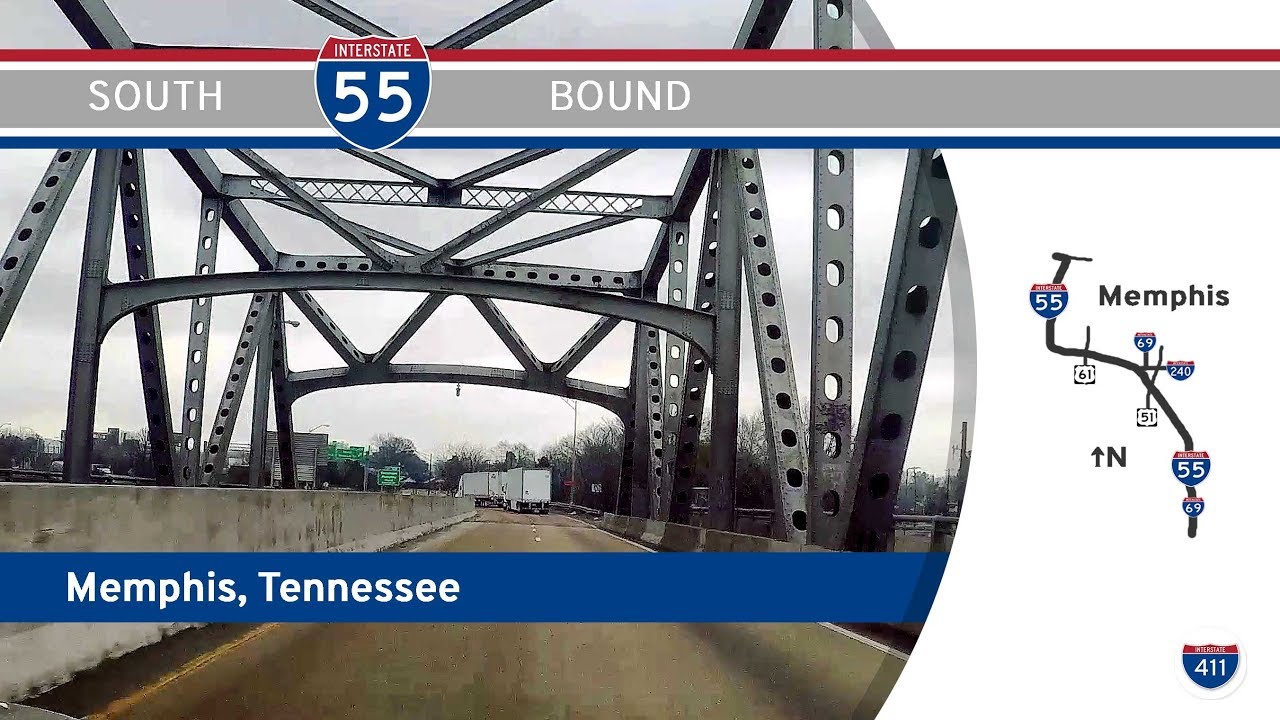
Take a drive along Interstate 55 southbound through Memphis, Tennessee, from the Mississippi River to the state line. Navigate historic interchanges, pass Graceland, and explore Memphis’s evolving highway landscape in this 15-mile journey.
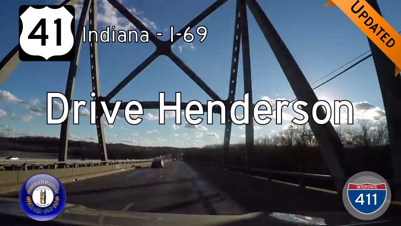
Drive U.S. Route 41 southbound in Henderson, Kentucky, from the Ohio River at the Indiana state line to Interstate 69. Explore river views, historic highway alignments, and the modern I-69 interchange on this short but scenic route.