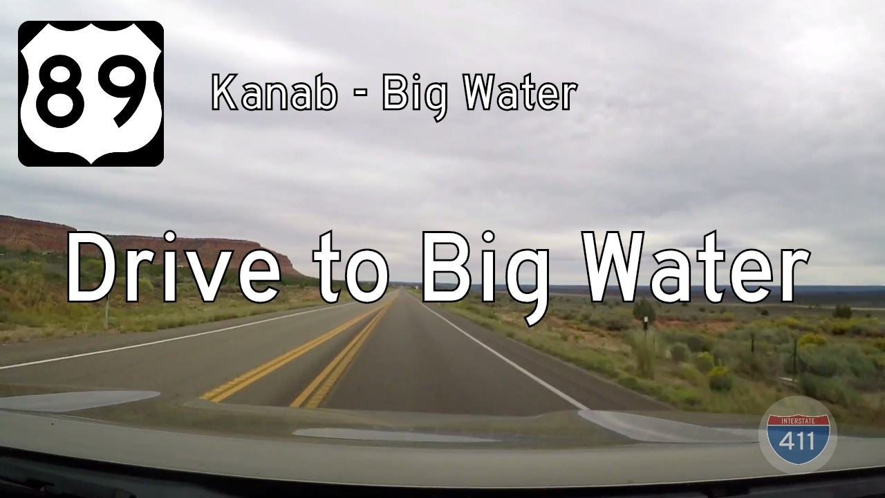
Take a stunning 58-mile drive along U.S. Route 89 from Kanab to Big Water, Utah. Explore scenic red rock canyons, hidden sand dunes, and Grand Staircase-Escalante vistas along this desert highway through the heart of the Colorado Plateau.
Experience the stark beauty of arid landscapes with Desert-tagged routes, from sunbaked highways to remote desert crossings.
The 🏜️ Desert tag marks routes that traverse arid landscapes, dry basins, and sunbaked terrain typical of the American Southwest and similar regions. These drives are often defined by sparse vegetation, rugged rock formations, and expansive, unbroken horizons under intense sunlight.
Desert-tagged segments offer a unique visual experience—shifting sands, red rock mesas, or salt flats depending on the location. They can be starkly beautiful but also challenging due to heat, limited shade, and fewer services along the way.
Take a stunning 58-mile drive along U.S. Route 89 from Kanab to Big Water, Utah. Explore scenic red rock canyons, hidden sand dunes, and Grand Staircase-Escalante vistas along this desert highway through the heart of the Colorado Plateau.
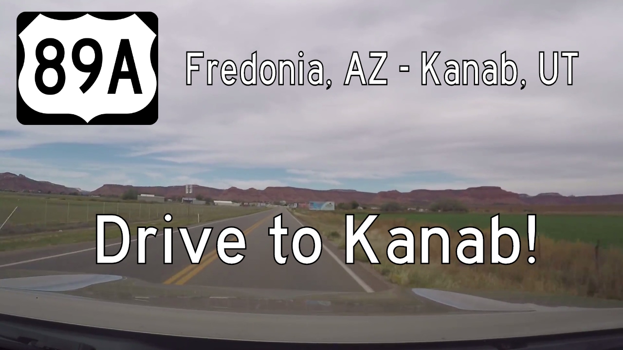
Take a scenic drive along U.S. Route 89A from Fredonia, Arizona to Kanab, Utah. This short 7-mile route crosses dramatic desert landscapes, historic towns, and the Arizona-Utah border in classic Southwestern style.
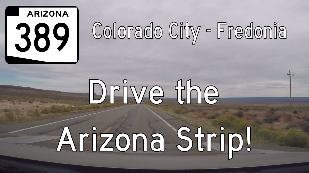
Explore Arizona’s remote high desert with a drive along State Route 389 from Colorado City to Fredonia. This 32.5-mile route through the Arizona Strip showcases sweeping vistas, historic stops like Pipe Spring National Monument, and stunning views of Vermilion Cliffs.
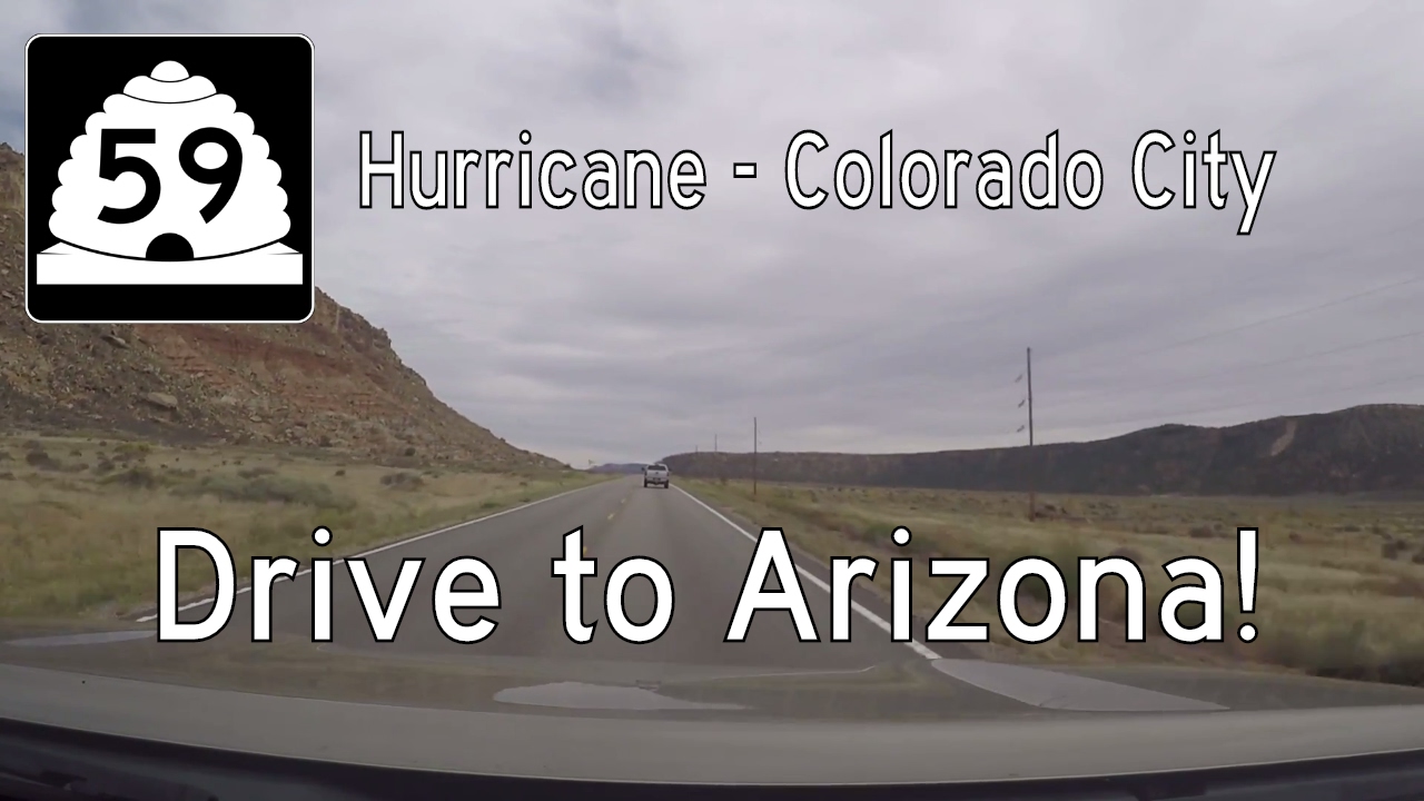
Travel Utah Route 59 from Hurricane to the Arizona border in Colorado City on a 22-mile desert drive through the remote and scenic Arizona Strip. Discover quiet towns, dramatic red cliffs, and the rich, complex history of the region.
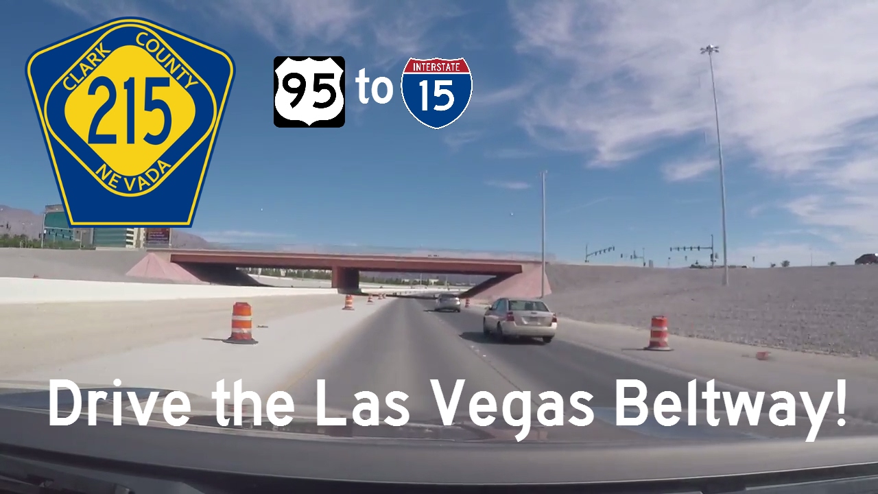
Travel the Bruce Woodbury Beltway (CR-215) eastbound in Las Vegas, Nevada—from US-95 to I-15—on a 12-mile county-built expressway that showcases innovative infrastructure and the evolving landscape of southern Nevada.
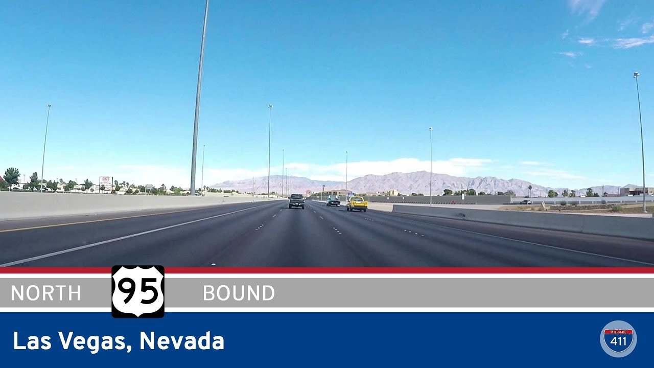
Drive 5.6 miles north along Interstate 11 (formerly US 95) in Las Vegas, Nevada, from Lake Mead Blvd to the Bruce Woodbury Beltway. Explore this evolving urban freeway and its recent re-designation.
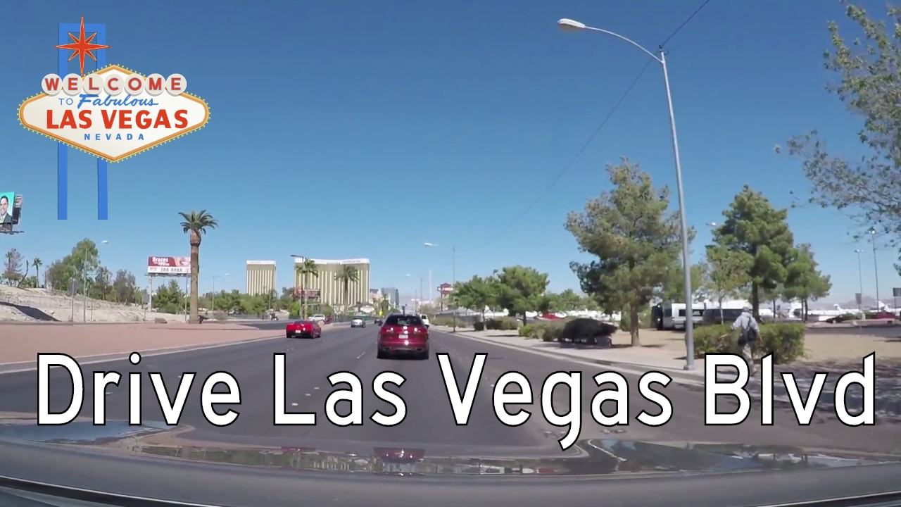
Cruise through the southern Strip as we drive 2 miles north on Las Vegas Boulevard from I-215 to the Luxor. This short stretch features the iconic “Welcome to Las Vegas” sign and some of the city’s most famous resorts and attractions.
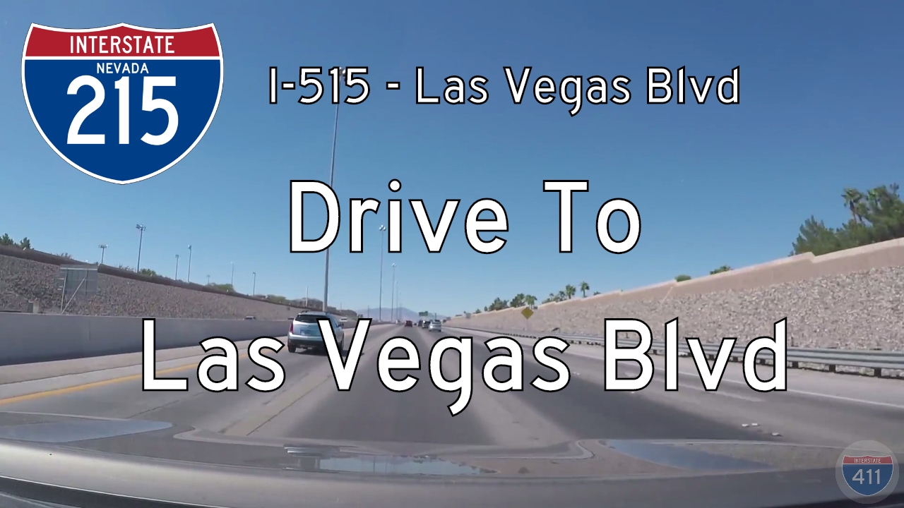
Drive westbound on Interstate 215 from I-515 in Henderson to Las Vegas Boulevard in Las Vegas, Nevada. This 11-mile stretch of the Bruce Woodbury Beltway showcases the rapid development of the Las Vegas Valley with suburban neighborhoods, commercial centers, and sweepin…
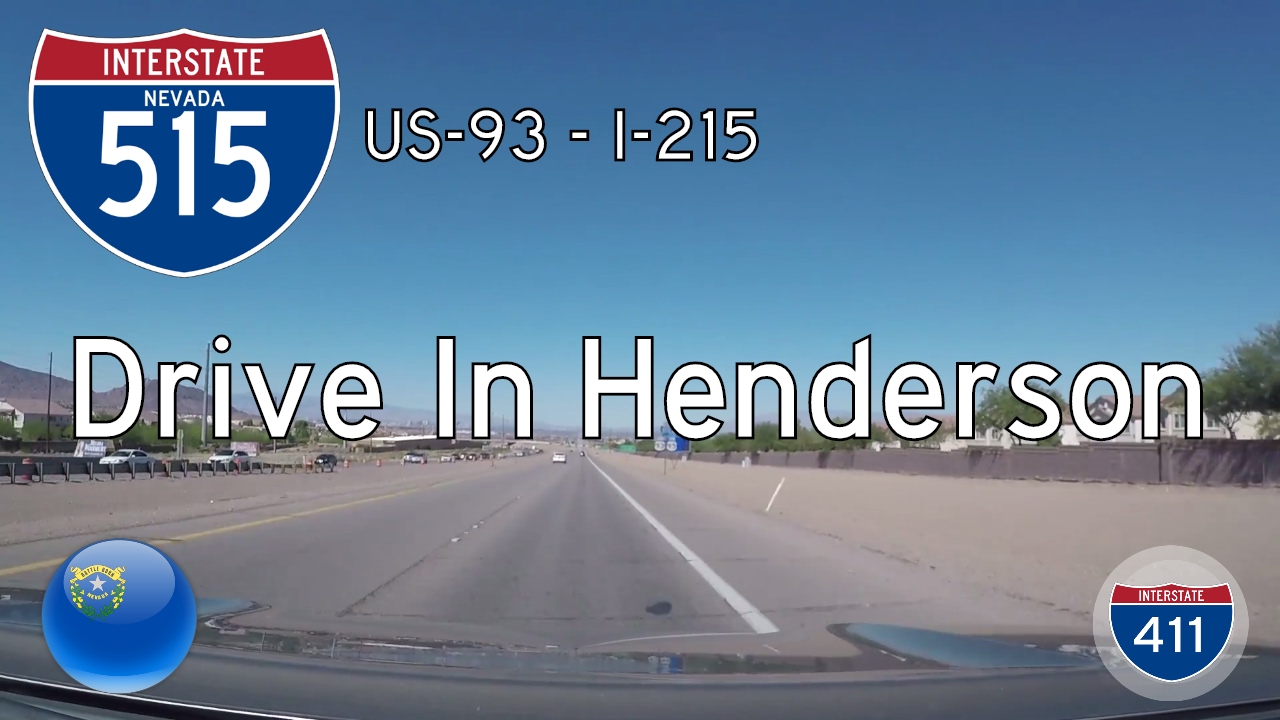
Take a short drive through Henderson to Las Vegas, Nevada, on Interstate 11 (formerly I-515). This 6-mile freeway segment reveals the blend of desert terrain, suburban growth, and highway modernization in southern Nevada. 🌵
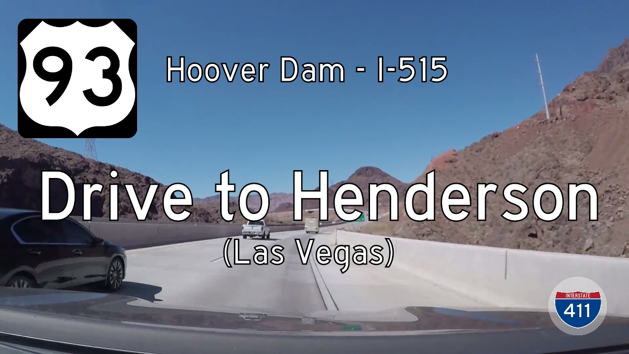
Drive America’s Highways along U.S. Route 93 (now largely superseded by Interstate 11) from the Hoover Dam to Henderson, Nevada. This 12-mile route passes through historic Boulder City and the Mojave Desert before connecting to I-515 in the Las Vegas metro area.
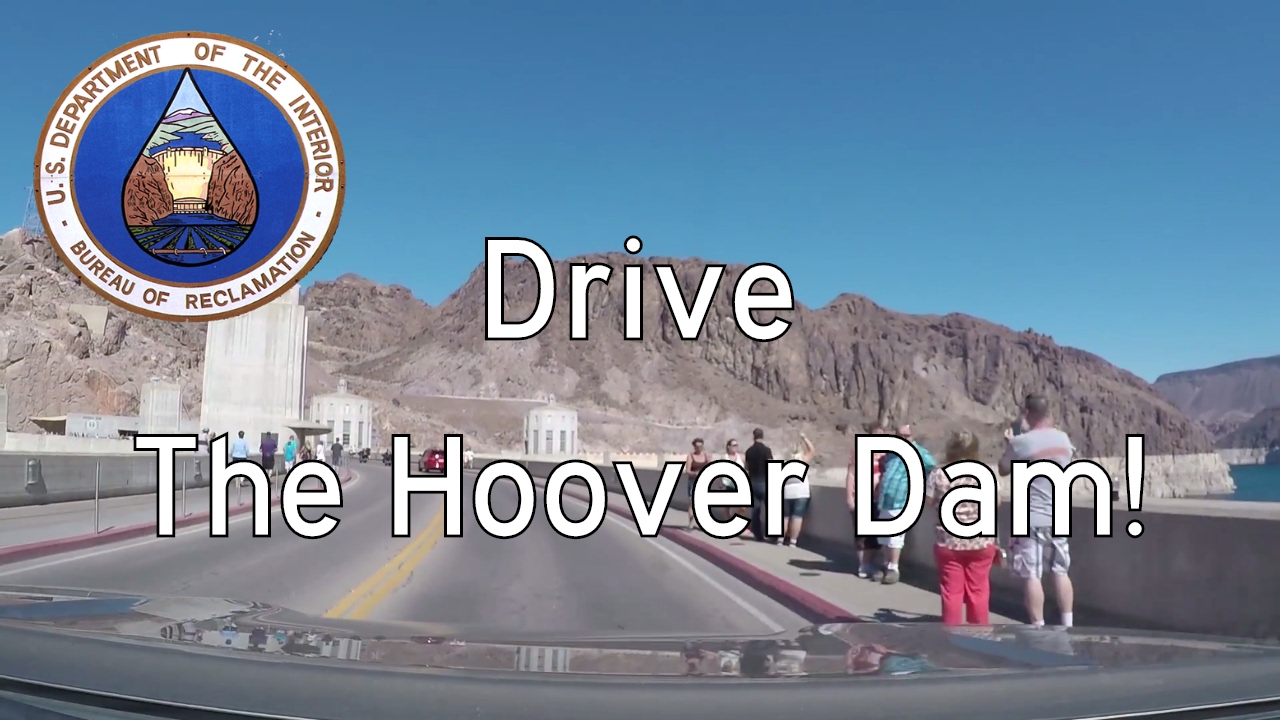
Drive across the iconic Hoover Dam between Nevada and Arizona, traveling both directions over the top of this engineering marvel spanning the Colorado River and Lake Mead. Explore a one-of-a-kind border crossing surrounded by desert cliffs, deep blue water, and a legacy…

Follow U.S. Route 93 for 10 scenic miles from Boulder City to Hoover Dam, descending through the Nevada desert into a canyon of history and engineering marvels. This drive captures the dramatic contrast between old and new, desert and dam, solitude and spectacle.