Interstate 80 is one of the longest and most significant east–west highways in the United States, stretching approximately 2,900 miles from downtown San Francisco, California, to Teaneck, New Jersey. As part of the original 1956 Interstate Highway System, I-80 plays a critical role in cross-country commerce and travel, linking major metropolitan areas, rural communities, and industrial hubs across 11 states. It closely parallels historic routes such as the Lincoln Highway and the California Trail, echoing the journey of westward expansion and early transcontinental travel.
Traversing a wide range of terrain, I-80 offers travelers a sweeping panorama of American geography—from the urban congestion of the Bay Area and Chicago, to the vast plains of Nebraska, and the rugged passes of the Sierra Nevada in eastern California. In Wyoming, the route reaches elevations of over 8,600 feet at the Sherman Summit near Laramie, making it one of the highest points on the entire Interstate system. Despite its sometimes harsh winter conditions and stretches of remote driving, I-80 is a vital trucking corridor and one of the most heavily traveled freight routes in the country.
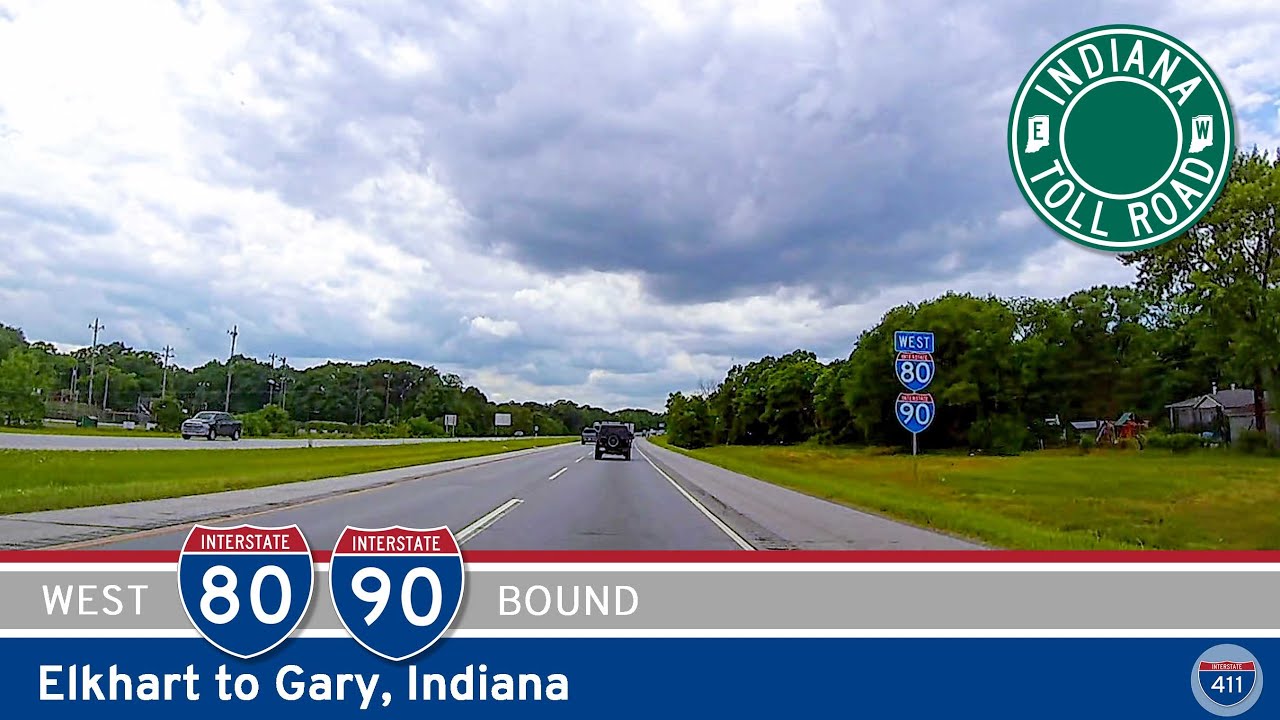
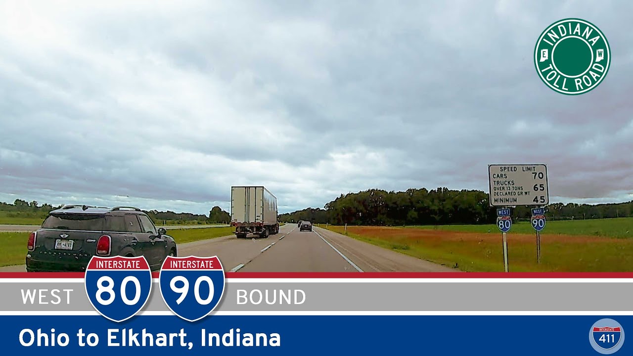
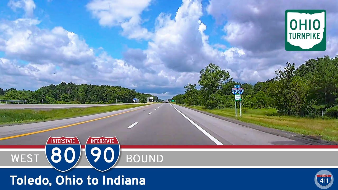
Major cities served by Interstate 80 include Sacramento, Reno, Salt Lake City, Cheyenne, Omaha, Des Moines, Davenport, Chicago, Toledo, Cleveland, and New York City suburbs in northern New Jersey. Throughout its route, I-80 intersects several major north–south interstates, including I-5, I-15, I-25, I-35, I-55, and I-75, ensuring strong connectivity across the national highway network. It’s a backbone of transcontinental infrastructure and a key route for travelers and freight carriers alike.