Hop in and ride with us as we cruise east for 131 miles along Interstate 40, connecting the vibrant heart of Little Rock to the bustling river city of Memphis. This stretch of I-40 is one of Arkansas’s busiest travel corridors, weaving through a blend of metro outskirts, fertile farmlands, dense woodlands, and pockets of small-town charm — all culminating in a dramatic Mississippi River crossing into Tennessee.
Our journey kicks off just north of downtown Little Rock, merging onto I-40 from the junction with Interstate 30 in North Little Rock. Early on, the highway passes key interchanges, including Interstate 57, which will take you to Searcy, and eventually St. Louis. Eastward, we quickly slip away from the urban sprawl at the junction with Interstate 440, trading cityscapes for stretches of pine and hardwood forest. Before long, we roll into Lonoke, a small town that holds tight to its agricultural roots. Keep an eye out for local produce stands along side roads here — Lonoke County is famous for its rice and soybean fields.
Beyond Lonoke, I-40 takes us deeper into Arkansas’s fertile Grand Prairie. Farmland flanks the road near Carlisle and Hazen, where old water towers and silos dot the horizon like bookmarks of rural life. One scenic highlight is the crossing over the White River, now spanned by a modern overpass that smooths what was once a slow bottleneck. East of Bisco and the AR-33 exit, the highway cuts through a wild stretch bordering the Dagmar Wildlife Management Area — a haven for bird watchers and duck hunters alike. If time allows, a quick detour to Dagmar offers quiet trails and serene fishing spots right off the interstate.
Approaching Brinkley, you’ll spot the exit for U.S. Highway 49, another important connector that threads north to Jonesboro or south to Helena. Brinkley itself is a quaint town worth a lunch stop, with local diners and a tiny but charming downtown. Pushing northeast, we pass the small communities of Wheatley and Palestine before reaching Forrest City, a larger waypoint along the route. Here, Interstate 40 crosses the unique rise of Crowley’s Ridge — a narrow upland that cuts through the otherwise flat Delta landscape. This ridge provides a welcome break in the scenery and is a geological quirk of eastern Arkansas.
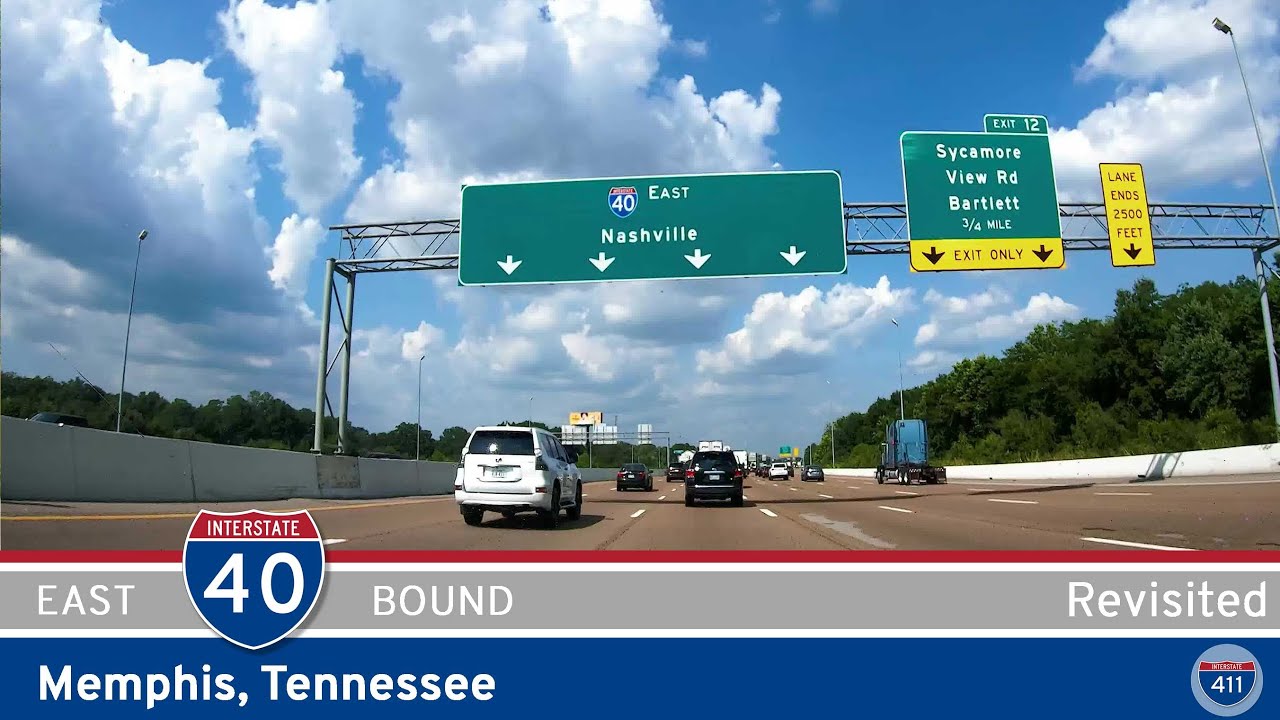
Leaving Forrest City, I-40 swings northeast, passing Hughes and bending eastward at the junction with U.S. Highway 79. Soon, the skyline hints at West Memphis, the final Arkansas stop before crossing into the Volunteer State. The highway slices through Lehi and West Memphis itself — an important trucking and transport hub — before threading a short merge with Interstate 55. Staying on I-40 east, we skirt industrial yards and floodplains, then aim squarely at the iconic Hernando DeSoto Bridge. The span carries us over the mighty Mississippi River, offering panoramic views of downtown Memphis rising ahead. It’s a grand finale for this stretch: from Arkansas’s capital to the soul of the Mid-South, all on one ribbon of concrete.
Whether you’re a daily commuter, a cross-country traveler, or just a curious explorer, this segment of Interstate 40 delivers a straightforward yet rewarding slice of Arkansas life, one mile at a time.
JCT I-440: 04:11
Lonoke: 24:14
Carlisle: 31:52
Hazen: 39:48
Biscoe: 46:38
Brinkley: 56:46
Wheatley: 1:00:48
Wynne: 1:14:38
Hughes: 1:35:20
W. Memphis: 1:41:20
JCT I-55 NB: 1:46:50
JCT I-55 SB: 1:50:48
HdS Bridge: 1:54:15
🗺️ Route Map
0 Comments