![Interstate 30: Arlington to Garland Through Dallas – Texas | Real Roads, Real Drives [Repost]](https://openroadarchive.com/wp-content/cache/flying-press/1e4a5cfe2a5165d172e51786a63b9bd2.jpg)
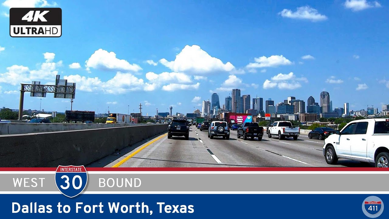
Take a ride through the beating heart of Dallas–Fort Worth as we follow Interstate 30 from Arlington to Garland, tracing 31 miles of stadium skylines, dense urban freeways, and the wide-open views along Lake Ray Hubbard. This is one of North Texas’s signature corridors—always in motion, always loud with life—yet filled with small moments of scenery that break through the bustle.
We begin near Ballpark Way in Arlington, just a short distance from landmarks that help define the city: AT&T Stadium, Globe Life Field, and the Entertainment District surrounding them. Even from the interstate, we can sense the scale of the place—broad exit ramps, tall directional signs, and the steady churn of traffic moving between events, neighborhoods, and the greater metro. Eastbound I-30 quickly settles into its rhythm as we cross under SH-360, rolling past the last clusters of Arlington’s commercial frontage before slipping almost imperceptibly into Grand Prairie.
Here, the interstate widens out and moves with purpose, threading past residential pockets and older commercial districts that stand shoulder-to-shoulder with newer development. The President George Bush Turnpike (Toll 161) crosses overhead—a major north–south artery that links the western suburbs to DFW Airport and the growing communities along the Trinity River corridor. As we continue east, the skyline of Dallas begins to rise faintly ahead, its glass towers sharpening into view with each passing mile. Traffic thickens too, a reminder that this freeway carries commuters, long-distance travelers, and local traffic all at once.
Once we cross the city limits, lane counts fluctuate to accommodate the surge of vehicles pouring in from the surrounding neighborhoods. Approaching Loop 12, the interstate leans toward the Trinity River basin, where interchanges multiply and the roadway begins to compress into the complex geometry of a major urban freeway. Concrete retaining walls, tall flyovers, and directional ramps frame our approach to the Trinity River crossing—a dramatic shift from the suburban sprawl behind us.
The Margaret McDermott Bridge, with its signature arch forms, carries I-30 over the Trinity while offering a sweeping cinematic view of downtown Dallas off to the north. For a brief moment, the city becomes the centerpiece of the landscape—sunlight catching the faceted angles of the Bank of America Plaza, Renaissance Tower, and the many glass towers clustered along Main Street. Then the view slips away as I-30 curves south of the central business district, entering the massive interchange complex where the freeway weaves beneath Interstate 35E, connects toward Interstate 45, and brushes against the southern reach of U.S. Route 75.
From here, the freeway straightens out and begins its eastward run toward Mesquite. Traffic remains dense as we pass industrial pockets, older neighborhoods, and rail corridors that parallel the interstate. The interchange with U.S. 80 emerges next—a key feeder toward Forney and Terrell—followed again by Loop 12, completing the beltway arc first encountered miles earlier. As we continue toward the eastern suburbs, the lanes expand generously approaching Interstate 635, a major junction that serves as Dallas’s inner loop.
Beyond I-635, the cityscape gradually transitions into Garland, where commercial strips, warehouses, and newly built retail complexes line the approach. Just ahead, the environment opens up dramatically as the interstate meets the western shore of Lake Ray Hubbard. The wide expanse of water comes into view at once, catching the reflection of the sky and offering a refreshing contrast to the urban pace of the previous miles. Running parallel to the shoreline, the freeway delivers one of the corridor’s most scenic moments—a rare breath of openness in an otherwise metropolitan drive.
Our segment ends at Bass Pro Drive, just before I-30 prepares to cross the lake toward Rockwall. It’s a fitting place to pause: a popular stop for travelers, a gateway to lakeside recreation, and a spot where the pulse of Dallas gives way to the calmer rhythm of the waters ahead.
No matter the hour, this drive reminds us of how interconnected Dallas–Fort Worth truly is—how its suburbs, freeways, and skylines flow together across a shared landscape of commerce, culture, and movement. Interstate 30 is one of the threads that ties it all together, guiding us from stadiums to skyscrapers to shimmering water, all within the span of a half hour’s journey.
🎵 Music: Track List
🗺️ Route Map
![[Revisited] Interstate 30: Fort Worth ~ Texas](https://openroadarchive.com/wp-content/uploads/2025/06/wclp1_ang1qmaxresdefault.jpg)

0 Comments