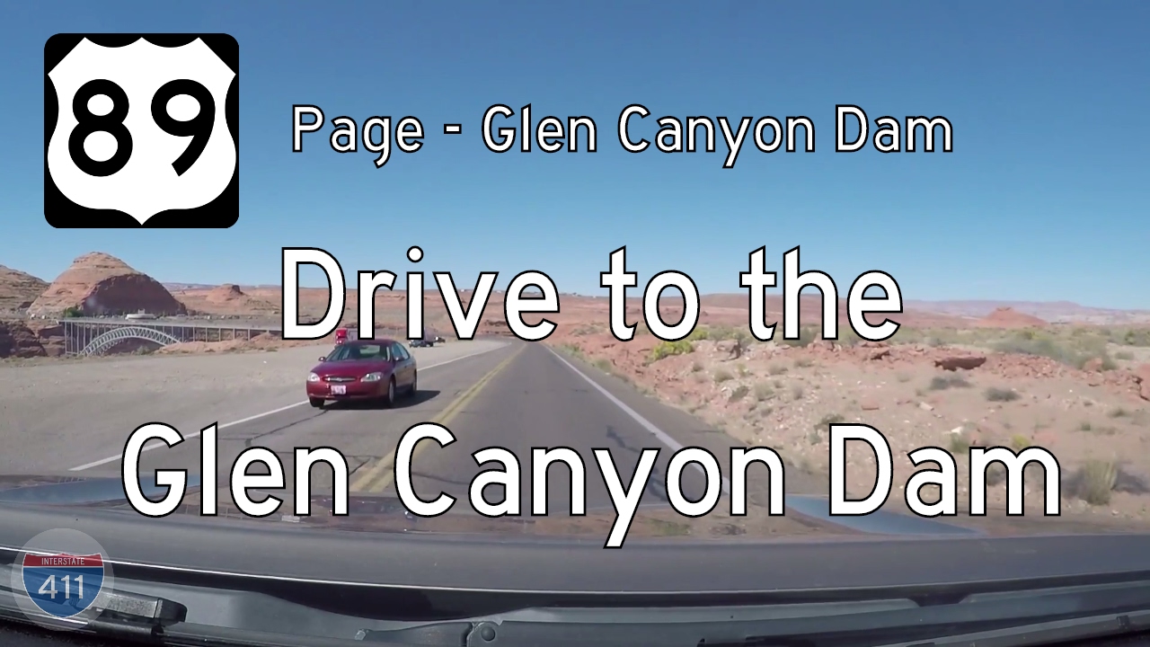
Take a short but scenic ride through the sandstone heart of northern Arizona as we follow U.S. Route 89 for just 2 miles from the city of Page to the Glen Canyon Dam and the Carl Hayden Visitor Center. Though brief in distance, this iconic segment of highway delivers striking desert views and a powerful sense of scale, connecting a growing community to one of the most significant feats of engineering in the American Southwest.
Our drive begins at the northern edge of Page, Arizona—a town born of necessity in the 1950s during the construction of Glen Canyon Dam. Page’s layout still reflects its origins as a government-planned community, with wide roads, mid-century structures, and infrastructure meant to support a large workforce. As we pull onto US-89 north, we leave behind the commercial clusters of gas stations, grocery stores, and hotels catering to tourists bound for Lake Powell and Antelope Canyon. Almost immediately, the road begins a gentle climb, winding through sculpted red rock cutouts and revealing glimpses of the open desert beyond.
As we crest the rise, the road narrows slightly and bends westward, offering a dramatic overlook of the Colorado River valley. To the right, a turnout leads to scenic viewpoints and the well-signed entrance to the Carl Hayden Visitor Center, perched directly above Glen Canyon Dam. Completed in 1966, this concrete arch-gravity dam spans the mighty Colorado River and forms Lake Powell, the second-largest reservoir in the United States. From the visitor center, travelers can gaze out over the vast blue waters backed by weathered red cliffs, or step inside to explore exhibits detailing the dam’s construction, the river’s legacy, and the complex politics of water in the arid West.
Beyond the dam, U.S. Route 89 continues northward toward Big Water and into Utah, but our short journey ends here, at the edge of the concrete monolith that reshaped the region’s geography. While it may only be a two-mile stretch, this portion of US-89 serves as a symbolic threshold: between the natural and the engineered, between Arizona and Utah, and between the modern traveler and the ancient forces that carved the canyon lands of the Southwest.
🎵 Music:
Running Waters by Audionautix is licensed under a Creative Commons Attribution license (https://creativecommons.org/licenses/by/4.0/)
Artist: http://audionautix.com/
🗺️ Route Map
0 Comments