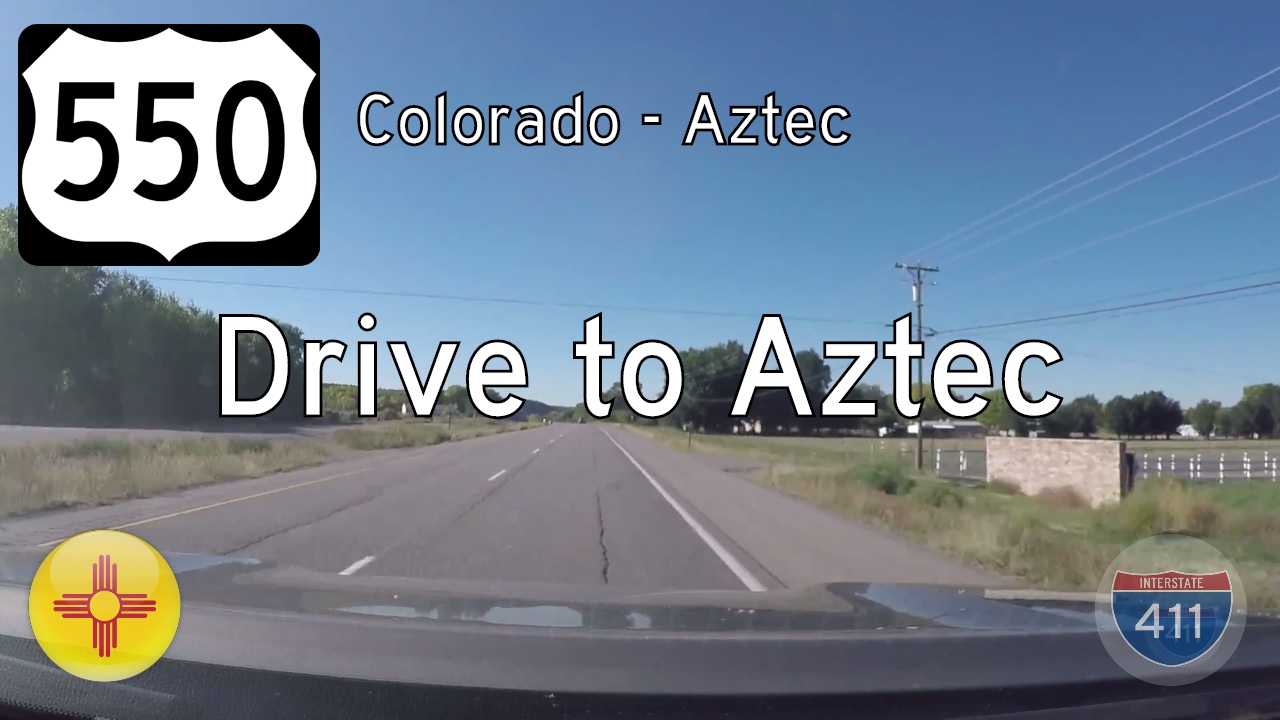
Take a scenic ride across the Four Corners region as we follow U.S. Route 550 from the Colorado state line to the charming town of Aztec, New Mexico. This 15-mile stretch of highway drops us from the high mesas of the San Juan Basin into a landscape steeped in natural beauty and deep cultural history. As we head southbound, we transition from the rugged terrain of southern Colorado into the sunbaked high desert of northwestern New Mexico—where sandstone formations, dry washes, and distant mesas shape the horizon.
Crossing the state line near Cedar Hill, the first few miles of U.S. 550 unfold in wide, sweeping curves through open rangeland and scattered juniper. The land here is sparsely populated, and the road offers long sightlines over gently undulating terrain. This is classic high desert country—punctuated by the occasional oil pump jack or utility easement reminding us of the region’s quiet economic heartbeat. We’re still riding high above sea level, and the air feels dry and crisp as we descend toward the Animas River valley.
Approaching the outskirts of Aztec, the terrain grows slightly greener as we near the river corridor. Agricultural fields begin to appear, nourished by irrigation systems drawn from the Animas River, which has been central to life here for centuries. As the highway approaches the city limits, traffic begins to pick up, with local commuters and travelers joining us on the route. On the right, a few small neighborhoods and businesses hint at Aztec’s role as a regional hub, while to the left, distant sandstone ridges frame the view. Before long, we pass through a series of intersections that serve as gateways into Aztec proper.
Our journey concludes at the junction with New Mexico State Highway 516, a key east-west connector between Aztec, Farmington, and points beyond. But just before that, you may notice signs pointing toward the remarkable Aztec Ruins National Monument, a UNESCO World Heritage–affiliated site showcasing massive ancestral Puebloan structures. These ruins are a vivid reminder that this landscape has been inhabited and cultivated for thousands of years—long before any modern roadways traced its contours.
From state line to small town, this short drive reveals the quiet continuity between natural landscape and human presence. U.S. Route 550 serves as more than just a transportation link—it’s a ribbon of memory tying together cultures, communities, and geographies in one of New Mexico’s most intriguing corners.
🗺️ Route Map

0 Comments