Let’s take a scenic drive down the heart of central Arkansas as we travel 15 miles south along Arkansas Highway 9, connecting the vibrant community of Morrilton to the charming small town of Perryville. Our journey kicks off just south of Interstate 40 at the intersection of Highway 9 and Harding Street, where we’re immediately greeted by the gentle rise of a small hill leading us towards U.S. Highway 64. This corridor through Morrilton sets the tone for a route that balances small-town scenes, rolling foothills, and glimpses of the Arkansas River’s enduring presence in this part of the state.
Heading south, Highway 9 shares the pavement briefly with Arkansas Highway 113. Together, they guide us out of Morrilton’s residential fringes, past local businesses and the junction with AR-9B—a spur that loops back north for local access. Almost immediately after, we cross the broad and scenic Arkansas River. Keep an eye out here; it’s a classic Arkansas snapshot—green banks, slow currents, and the distant line of Petit Jean Mountain waiting on the horizon. South of the river, AR-113 splits off to the southwest, while we stick to AR-9’s slight westward jog as we ease into the laid-back pace of rural Conway County.
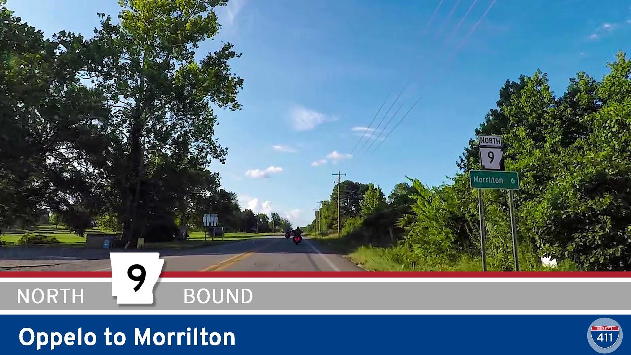
After crossing into Oppelo, Highway 9 doubles as Broadway Street and intersects with Arkansas Highway 154, which could take you on a side trip west to Petit Jean State Park if you’re feeling adventurous. Staying on 9, we push southwest out of Oppelo and the river valley, entering an expanse of open farmland dotted with pockets of hardwood forest—a true taste of central Arkansas’s agricultural backbone. As we roll into Perry, the highway meets Arkansas Highway 10 at the town’s main crossroad. This intersection is a good spot to stretch your legs, grab a snack from a local café, or even detour west on AR-10 toward Lake Nimrod for fishing or camping.
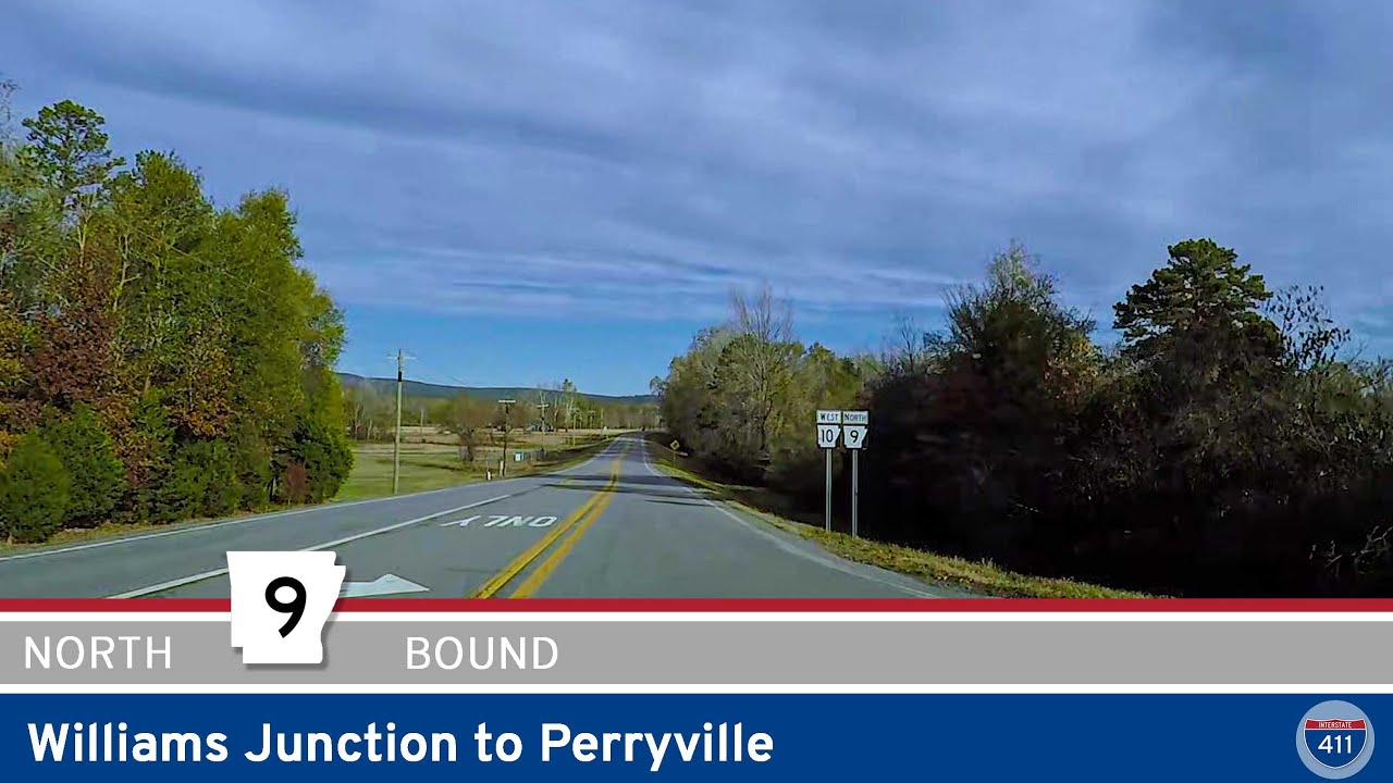
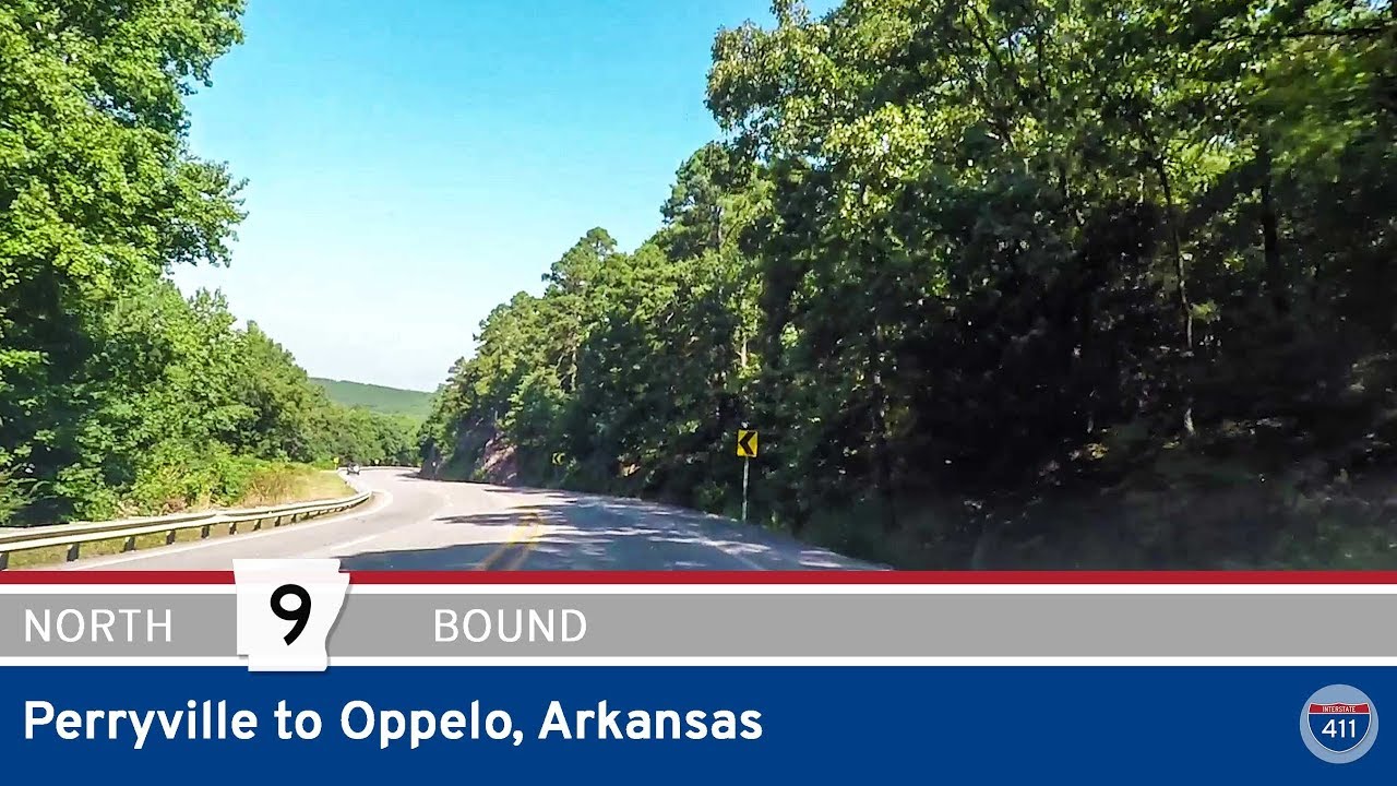
Leaving Perry behind, we start a gradual climb into the Ouachita Foothills, a transition you’ll feel both in the sharper curves and the welcome shade from forested slopes. There’s a small picnic area tucked along this stretch, perfect for a quick stop to enjoy the view back over the valley you just traversed. From the crest, it’s a gentle descent into Perryville—one of the region’s coziest county seats—where AR-9 becomes Fourche Avenue. As we cruise deeper into town, we pass the intersection with AR-60E, before drifting onto Main Street and finally reaching AR-60W, marking the end of this leg of Highway 9. For those ready to keep exploring, AR-9 continues south from here, threading its way toward Williams Junction and deeper into the Ouachita Mountains.
🗺️ Route Map
0 Comments