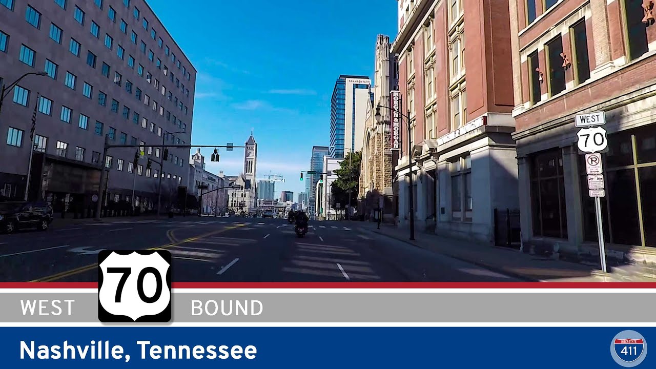
Travel with us as we roll 30 miles west on one of Tennessee’s historic corridors — U.S. Highway 70 — tracing a path from the outskirts of Nashville to the welcoming town of Dickson. This stretch of 70 is more than just a road; it’s a thread connecting city bustle, river bends, and state park tranquility in one easygoing drive.
We kick things off at the far western edge of Nashville, where Charlotte Pike carries U.S. 70 past River Road and into the community of Bellevue. This portion of the route is a familiar commuter artery, but look closer — pockets of old Nashville charm pop up between modern developments. Passing the intersection with Tennessee Highway 251, we weave deeper into Bellevue, passing neighborhood shops and local eateries that make this area feel like a town of its own within the city limits. Not far ahead, the junction with Highway 70S marks where the older highway alignment splits southwest toward Murfreesboro — but we stay faithful to classic US-70, hugging the winding banks of the Harpeth River.
Beyond Bellevue, the scenery starts to breathe. Just past Pegram, Highway 70 tracks the Harpeth’s curves while rolling hills close in on both sides. There’s a quiet service road here leading to the Narrows of the Harpeth, a natural pass carved through limestone — a worthwhile detour if you crave a short hike or a bit of riverside history. Soon, we pull into White Bluff, a small town that serves up a blend of vintage storefronts and rural Tennessee hospitality. The intersection with TN-47 in White Bluff is a practical waypoint for heading south toward Burns or north to Charlotte, but our westward journey presses on.
Leaving White Bluff, we venture straight into one of Middle Tennessee’s best-kept secrets: Montgomery Bell State Park. Although our main route just brushes its northern edge, it’s impossible not to feel the pull of shaded trails, spring-fed creeks, and quiet campgrounds tucked among the pines. We pause briefly at a park turnout, a good spot to stretch and soak up a dose of fresh air before tackling the last leg into Dickson.
Rolling into Dickson, U.S. 70 transitions from a lazy two-lane to a busier corridor lined with restaurants, big-box stores, and local businesses. We pass the junction with TN-96 — a handy connector to Franklin for those bound southeast — and carry on through the heart of Dickson’s commercial district. To skip the denser downtown traffic, we shift northwest onto Henslee Drive, the town’s local bypass. A short cruise later, our journey wraps up at the intersection with Mathis Drive, right at the cusp of where urban Dickson gives way to the rolling countryside beyond.
🗺️ Route Map
0 Comments